
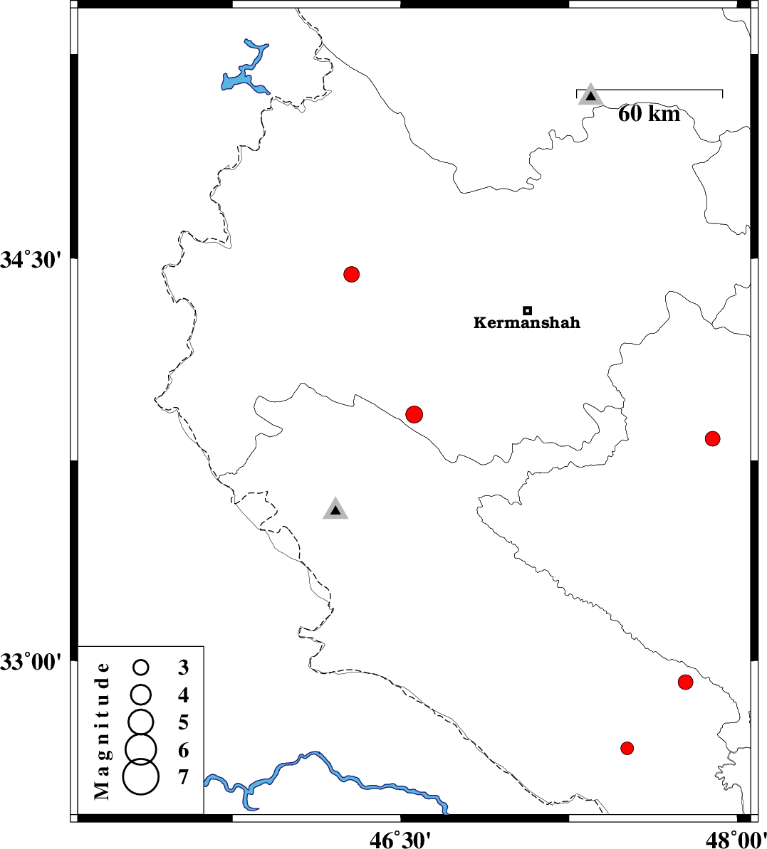
| Prel. Rep. | Date | Time(UTC) | Time(Local) | Lat. | Lon. | Depth | Mag. | Region | Waveform |
| 2010/07/02 | 04:24:38.2 | 08:54:38.2 | 33.92 | 46.56 | 15 | ML:3.4 | Kermanshah Province, 16 km North of Sar Ableh | ||
| 2010/06/25 | 08:11:24.1 | 12:41:24.1 | 32.92 | 47.77 | 15 | ML:3 | Ilam Province, 26 km South of Pol-e dokhtar | ||
| 2010/06/14 | 20:03:17.3 | 00:33:17.3 | 33.83 | 47.89 | 15 | ML:2.9 | Lorestan Province, 29 km South of Nurabad | ||
| 2010/06/14 | 12:43:38.7 | 17:13:38.7 | 32.67 | 47.51 | 18 | ML:2.6 | Ilam Province, 24 km East of Dehloran | ||
| 2010/06/12 | 10:04:04.8 | 14:34:04.8 | 34.44 | 46.28 | 0 | ML:3.1 | Kermanshah Province, 36 km East of Sar-e pol-e zahab |