
| Prel. Rep. | Date | Time(UTC) | Time(Local) | Lat. | Lon. | Depth | Mag. | Region | Waveform |
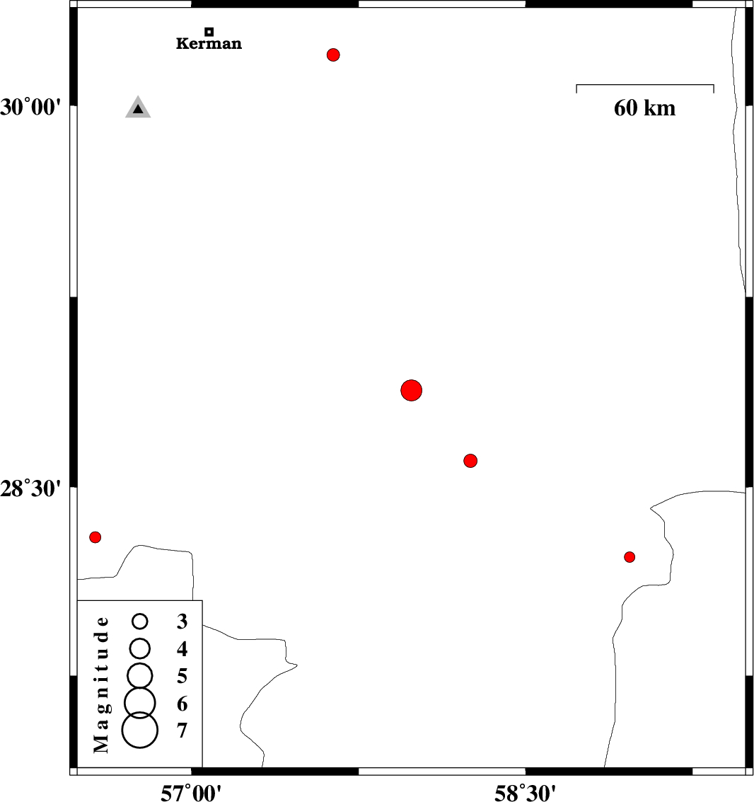
| 2015/10/18 | 06:45:54.2 | 10:15:54.2 | 28.882 | 57.987 | 14 | ML:4.2 | Kerman Province, 34 km North-East of Jiroft | ||
| 2015/10/17 | 21:25:46.6 | 00:55:46.6 | 28.3 | 56.568 | 16 | ML:2.3 | Kerman Province, 65 km -East of Hajiabad | ||
| 2015/10/16 | 09:28:03.6 | 12:58:03.6 | 30.198 | 57.637 | 15 | ML:2.6 | Kerman Province, 55 km -East of Kerman | ||
| 2015/10/13 | 16:09:36.4 | 19:39:36.4 | 28.604 | 58.253 | 14 | ML:2.7 | Kerman Province, 51 km -East of Jiroft | ||
| 2015/10/13 | 01:25:52.2 | 04:55:52.2 | 28.222 | 58.966 | 15 | ML:2.1 | Kerman Province, 115 km South-East of Bam |