
| Prel. Rep. | Date | Time(UTC) | Time(Local) | Lat. | Lon. | Depth | Mag. | Region | Waveform |
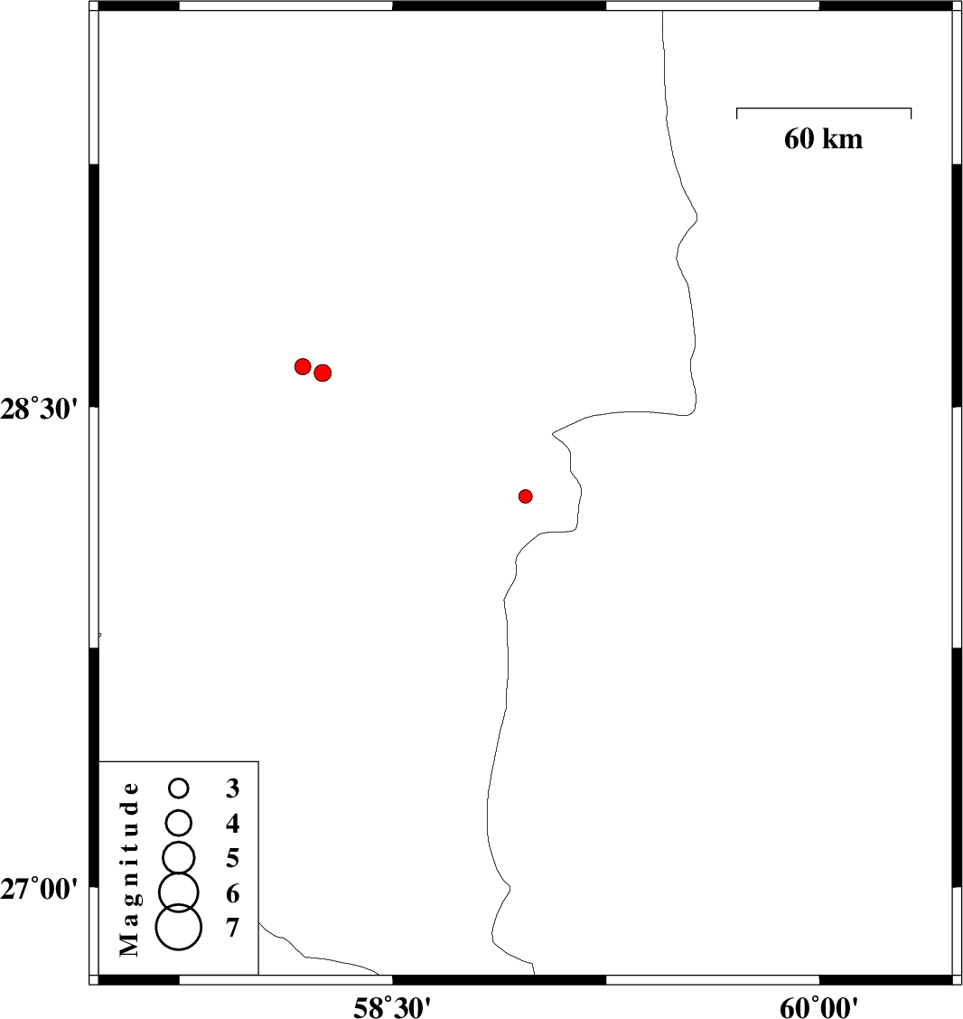
| 2015/10/13 | 16:09:36.4 | 19:39:36.4 | 28.604 | 58.253 | 14 | ML:2.7 | Kerman Province, 51 km -East of Jiroft | ||
| 2015/10/13 | 01:25:52.2 | 04:55:52.2 | 28.222 | 58.966 | 15 | ML:2.1 | Kerman Province, 115 km South-East of Bam | ||
| 2015/10/09 | 09:54:23.9 | 13:24:23.9 | 28.624 | 58.183 | 14 | ML:2.6 | Kerman Province, 44 km -East of Jiroft |