
| Prel. Rep. | Date | Time(UTC) | Time(Local) | Lat. | Lon. | Depth | Mag. | Region | Waveform |
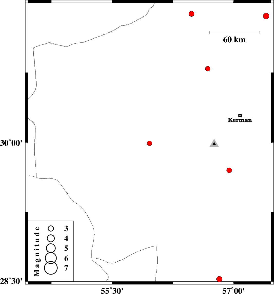
| 2015/08/17 | 10:34:31.0 | 15:04:31.0 | 29.992 | 55.961 | 14 | ML:2.7 | Kerman Province, 46 km South of Rafsanjan | ||
| 2015/08/14 | 16:00:40.1 | 20:30:40.1 | 30.791 | 56.681 | 14 | ML:2.7 | Kerman Province, 11 km -East of Zarand | ||
| 2015/08/14 | 07:06:58.5 | 11:36:58.5 | 31.375 | 56.481 | 15 | ML:3 | Kerman Province, 34 km North-West of Ravar | ||
| 2015/08/01 | 10:47:44.9 | 15:17:44.9 | 29.701 | 56.946 | 18 | ML:2.8 | Kerman Province, 44 km South-East of Bardsir | ||
| 2015/07/22 | 22:36:59.0 | 03:06:59.0 | 28.791 | 54.86 | 18 | ML:3.4 | Fars Province, 32 km -East of Darab | ||
| 2015/07/22 | 05:38:54.9 | 10:08:54.9 | 31.351 | 57.401 | 14 | ML:3.2 | Kerman Province, 57 km -East of Ravar | ||
| 2015/07/19 | 00:55:03.4 | 05:25:03.4 | 28.518 | 56.823 | 15 | ML:3.1 | Kerman Province, 82 km South-East of Baft |