
| Prel. Rep. | Date | Time(UTC) | Time(Local) | Lat. | Lon. | Depth | Mag. | Region | Waveform |
| 2015/07/25 | 17:28:11.2 | 21:58:11.2 | 30.066 | 57.636 | 15 | ML:3.5 | Kerman Province, 59 km South-East of Kerman | ||
| 2015/07/25 | 16:32:18.8 | 21:02:18.8 | 30.093 | 57.604 | 14 | ML:3.1 | Kerman Province, 55 km South-East of Kerman | ||
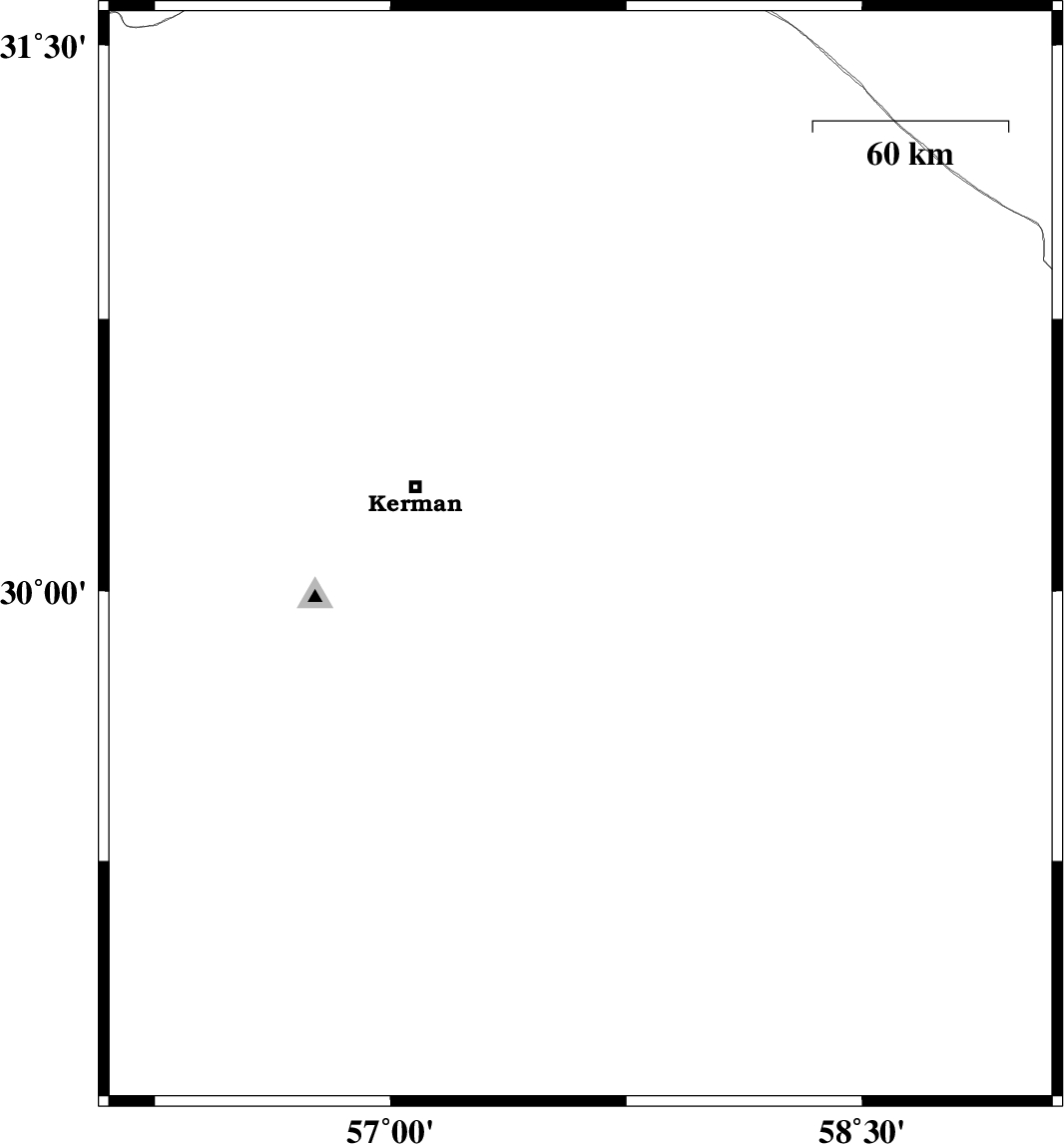
| 2015/07/25 | 16:10:41.6 | 20:40:41.6 | 30.041 | 57.624 | 18 | ML:4.8 | Kerman Province, 59 km South-East of Kerman | ||
| 2015/07/24 | 15:04:18.3 | 19:34:18.3 | 28.894 | 58.784 | 14 | ML:3.9 | Kerman Province, 48 km South-East of Bam | ||
| 2015/07/24 | 02:51:57.0 | 07:21:57.0 | 28.757 | 58.732 | 14 | ML:2.8 | Kerman Province, 54 km South-East of Bam | ||
| 2015/07/22 | 07:49:33.4 | 12:19:33.4 | 28.917 | 58.76 | 14 | ML:3.4 | Kerman Province, 45 km South-East of Bam | ||
| 2015/07/22 | 05:38:54.9 | 10:08:54.9 | 31.351 | 57.401 | 14 | ML:3.2 | Kerman Province, 57 km -East of Ravar | ||
| 2015/07/20 | 14:54:15.1 | 19:24:15.1 | 28.614 | 58.406 | 18 | ML:2.9 | Kerman Province, 55 km South of Bam | ||
| 2015/07/20 | 01:22:32.6 | 05:52:32.6 | 30.055 | 57.927 | 14 | ML:3.3 | Kerman Province, 86 km South-East of Kerman |