
| Prel. Rep. | Date | Time(UTC) | Time(Local) | Lat. | Lon. | Depth | Mag. | Region | Waveform |
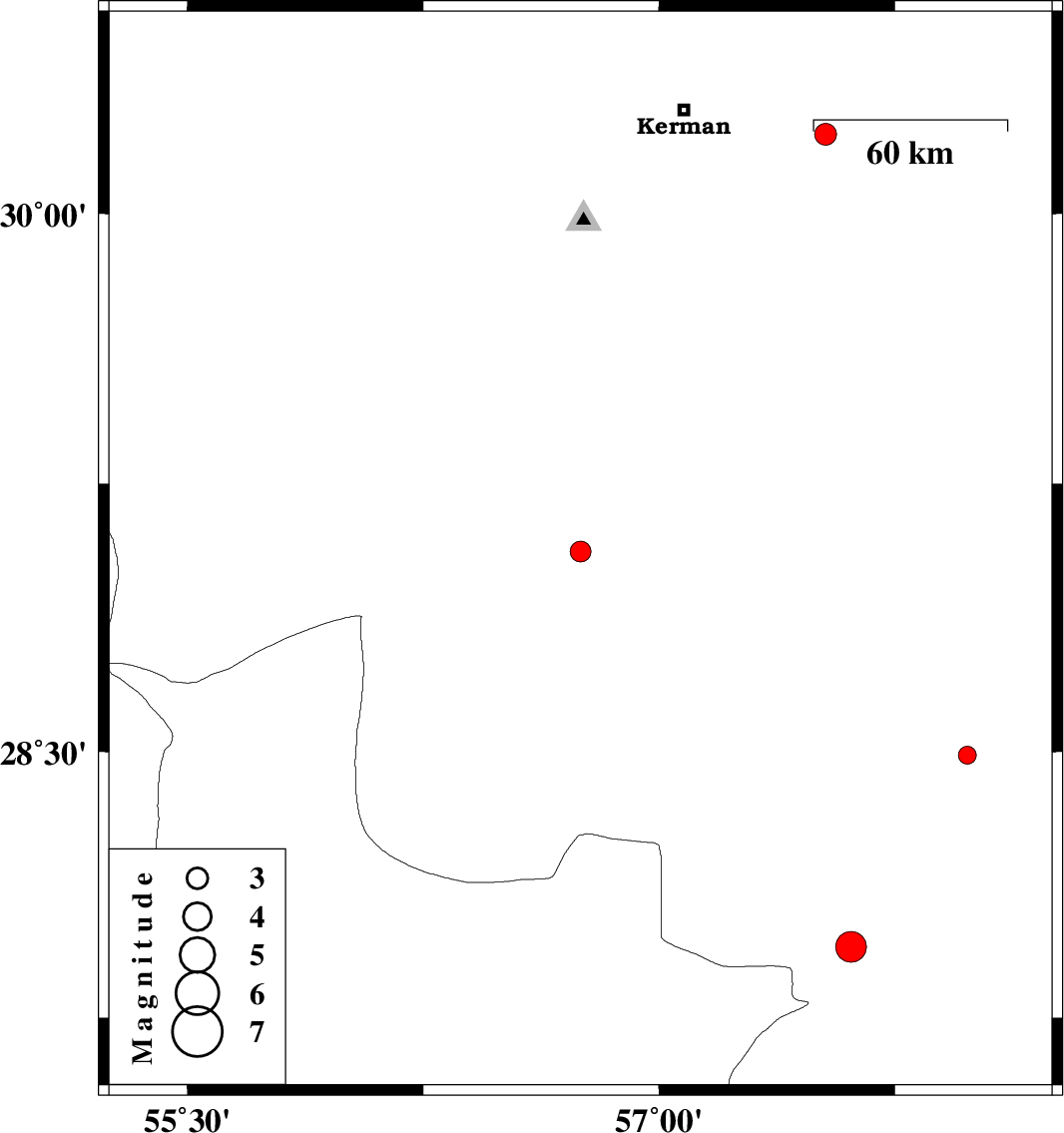
| 2015/05/16 | 20:39:35.4 | 01:09:35.4 | 29.06 | 56.75 | 16 | ML:3 | Kerman Province, 24 km South-East of Baft | ||
| 2015/05/15 | 00:31:41.0 | 05:01:41.0 | 28.49 | 57.98 | 15 | ML:2.6 | Kerman Province, 31 km South-East of Jiroft | ||
| 2015/05/13 | 20:27:21.6 | 00:57:21.6 | 27.95 | 57.61 | 18 | ML:4.4 | Kerman Province, 8 km Kahnuj | ||
| 2015/05/11 | 09:05:18.2 | 13:35:18.2 | 30.22 | 57.53 | 14 | ML:3.1 | Kerman Province, 44 km East of Kerman |