
| Prel. Rep. | Date | Time(UTC) | Time(Local) | Lat. | Lon. | Depth | Mag. | Region | Waveform |
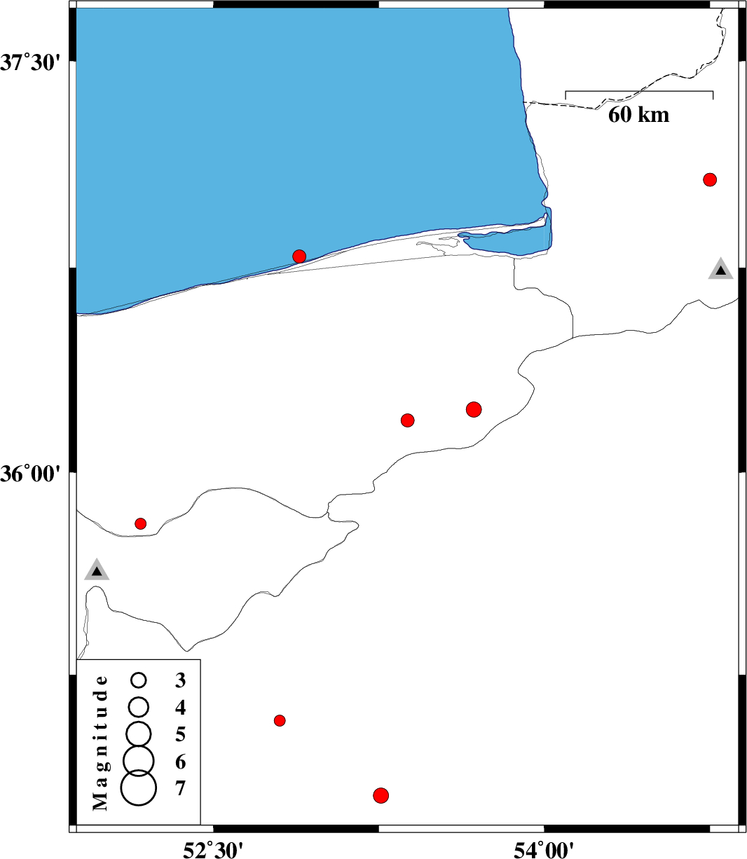
| 2015/05/08 | 03:34:22.6 | 08:04:22.6 | 36.19 | 53.38 | 14 | ML:2.7 | Mazandaran Province, 30 km East of Pol-E-Sefid | ||
| 2015/05/06 | 22:37:56.1 | 03:07:56.1 | 37.07 | 54.75 | 31 | ML:2.7 | Golestan Province, 21 km North-West of Ali Abad | ||
| 2015/05/06 | 13:41:44.3 | 18:11:44.3 | 34.8 | 53.26 | 16 | ML:3.1 | Semnan Province, 87 km South-West of Semnan | ||
| 2015/04/30 | 18:37:56.4 | 23:07:56.4 | 35.08 | 52.8 | 46 | ML:2.2 | Semnan Province, 45 km South-East of Garmsar | ||
| 2015/04/17 | 23:21:36.9 | 03:51:36.9 | 36.79 | 52.89 | 14 | ML:2.7 | Caspian Sea, 17 km North of Joybar | ||
| 2015/04/09 | 06:07:50.2 | 10:37:50.2 | 35.81 | 52.17 | 14 | ML:2.3 | Mazandaran Province, 14 km Damavand | ||
| 2015/04/08 | 02:11:34.4 | 06:41:34.4 | 36.23 | 53.68 | 14 | ML:3.1 | Mazandaran Province, 53 km South-East of Behshahr |