| Prel. Rep. | Date | Time(UTC) | Time(Local) | Lat. | Lon. | Depth | Mag. | Region | Waveform |
|
|
2015/03/08
|
18:43:33.1
|
22:13:33.1
| 30.06 | 56.51 | 14 |
ML:4.3
|
Kerman Province, 16 km North of Bardsir | |
|
|
2015/03/03
|
10:07:59.0
|
13:37:59.0
| 30.99 | 56.44 | 14 |
ML:2.1
|
Kerman Province, 23 km North-West of Zarand | |
|
|
2015/02/25
|
15:31:27.7
|
19:01:27.7
| 30.82 | 56.8 | 14 |
ML:3.3
|
Kerman Province, 22 km East of Zarand | |
|
|
2015/02/25
|
14:43:26.5
|
18:13:26.5
| 29.53 | 56.78 | 26 |
ML:3.1
|
Kerman Province, 37 km North-East of Baft | |
|
|
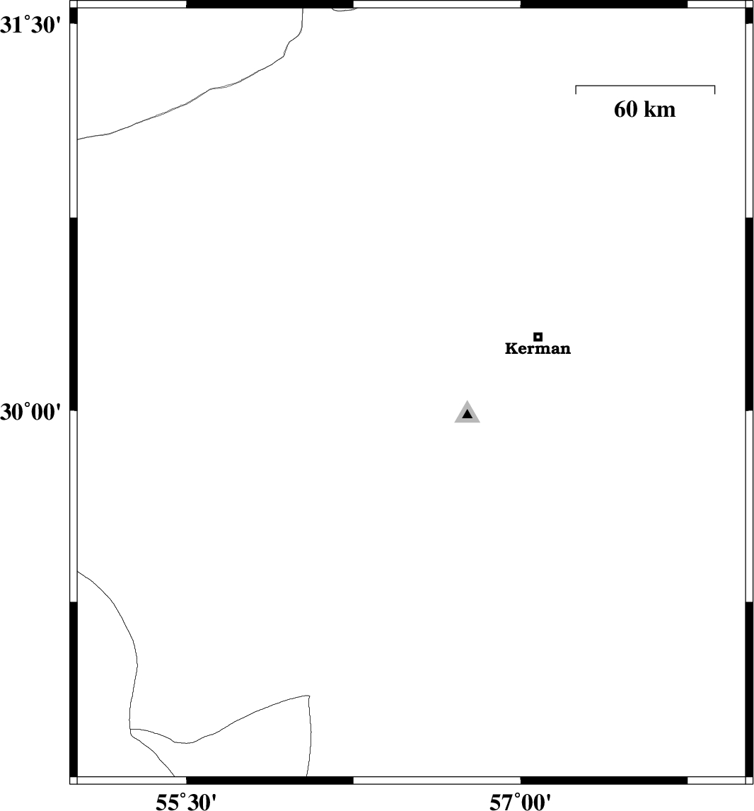
2015/02/22
|
15:20:20.8
|
18:50:20.8
| 30.55 | 57.58 | 17 |
ML:2.6
|
Kerman Province, 56 km North-East of Kerman | |
|
|
2015/02/19
|
14:11:11.2
|
17:41:11.2
| 30.06 | 57.62 | 14 |
ML:3.3
|
Kerman Province, 58 km South-East of Kerman | |
|
|
2015/02/19
|
10:02:10.7
|
13:32:10.7
| 30.78 | 56.69 | 14 |
ML:3.4
|
Kerman Province, 12 km East of Zarand | |
|
|
2015/02/17
|
13:41:37.4
|
17:11:37.4
| 30.11 | 57.6 | 14 |
ML:4.6
|
Kerman Province, 53 km South-East of Kerman | |
|
|
2015/02/17
|
07:42:15.9
|
11:12:15.9
| 30.75 | 56.79 | 15 |
ML:3.5
|
Kerman Province, 22 km East of Zarand | |
|
|
2015/02/13
|
01:00:45.2
|
04:30:45.2
| 30.19 | 57.56 | 14 |
ML:4.3
|
Kerman Province, 48 km East of Kerman | |
|
|
2015/02/11
|
16:48:33.9
|
20:18:33.9
| 30.82 | 56.93 | 15 |
ML:3.4
|
Kerman Province, 34 km East of Zarand | |
|
|
2015/02/07
|
00:42:21.5
|
04:12:21.5
| 29.65 | 56.57 | 14 |
ML:2.3
|
Kerman Province, 31 km South of Bardsir | |
