
| Prel. Rep. | Date | Time(UTC) | Time(Local) | Lat. | Lon. | Depth | Mag. | Region | Waveform |
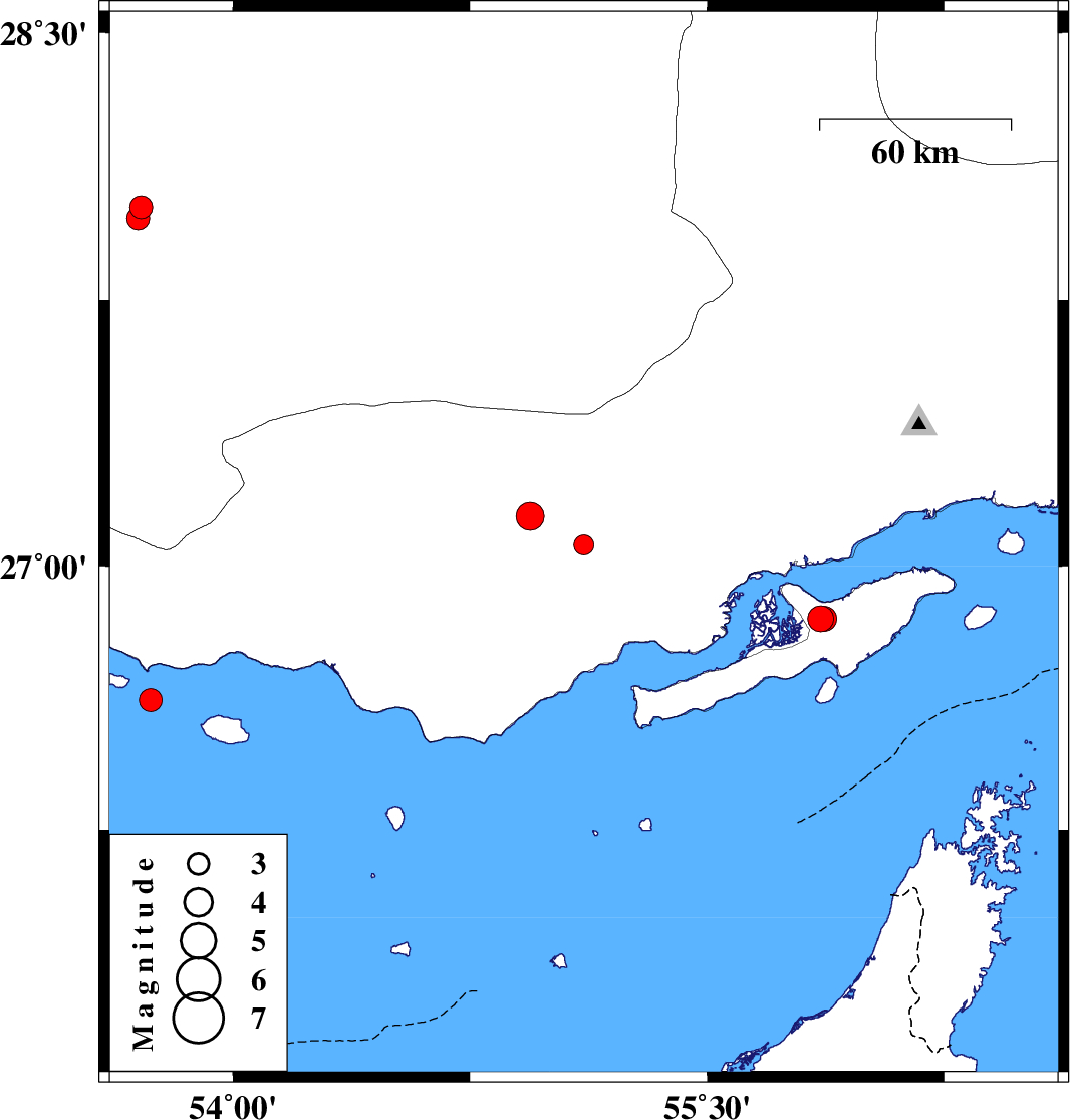
| 2014/10/11 | 11:04:12.9 | 14:34:12.9 | 27.06 | 55.11 | 14 | ML:2.8 | Hormozgan Province, 65 km North-East of Bandar-e lengeh | ||
| 2014/10/05 | 00:18:14.4 | 03:48:14.4 | 28.01 | 53.71 | 14 | ML:3.3 | Fars Province, 57 km South-East of Jahrom | ||
| 2014/10/04 | 21:13:20.0 | 00:43:20.0 | 27.98 | 53.7 | 16 | ML:3.3 | Fars Province, 60 km South-East of Jahrom | ||
| 2014/09/24 | 16:54:24.3 | 20:24:24.3 | 27.14 | 54.94 | 14 | ML:4 | Hormozgan Province, 57 km East of Bastak | ||
| 2014/09/24 | 14:25:45.4 | 17:55:45.4 | 26.85 | 55.86 | 7 | ML:3.7 | Persian Gulf, 42 km South-West of Qeshm | ||
| 2014/09/24 | 14:22:21.7 | 17:52:21.7 | 26.85 | 55.87 | 7 | ML:3.5 | Persian Gulf, 41 km South-West of Qeshm | ||
| 2014/09/15 | 07:08:04.8 | 11:38:04.8 | 26.62 | 53.74 | 16 | ML:3.3 | Persian Gulf, 89 km South-West of Bastak |