
| Prel. Rep. | Date | Time(UTC) | Time(Local) | Lat. | Lon. | Depth | Mag. | Region | Waveform |
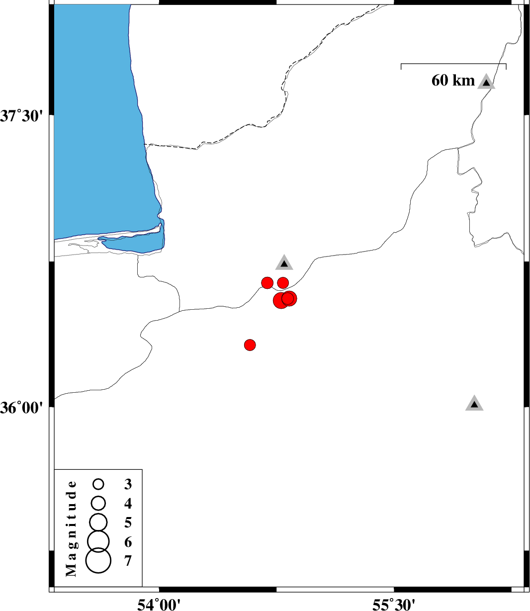
| 2014/09/07 | 23:24:35.5 | 03:54:35.5 | 36.56 | 54.82 | 17 | ML:3.4 | Semnan Province, 20 km North-West of Shahrud | ||
| 2014/09/07 | 08:12:55.9 | 12:42:55.9 | 36.56 | 54.83 | 16 | ML:4.4 | Semnan Province, 19 km North-West of Shahrud | ||
| 2014/09/07 | 03:00:14.3 | 07:30:14.3 | 36.64 | 54.79 | 18 | ML:3.3 | Golestan Province, 31 km South of Ali Abad | ||
| 2014/09/06 | 21:34:22.1 | 02:04:22.1 | 36.55 | 54.78 | 17 | ML:4.6 | Semnan Province, 22 km North-West of Shahrud | ||
| 2014/09/05 | 07:48:27.5 | 12:18:27.5 | 36.32 | 54.58 | 14 | ML:3.2 | Semnan Province, 27 km North-East of Damghan | ||
| 2014/08/14 | 17:25:13.0 | 21:55:13.0 | 36.64 | 54.69 | 18 | ML:3.4 | Golestan Province, 33 km South-West of Ali Abad |