
| Prel. Rep. | Date | Time(UTC) | Time(Local) | Lat. | Lon. | Depth | Mag. | Region | Waveform |
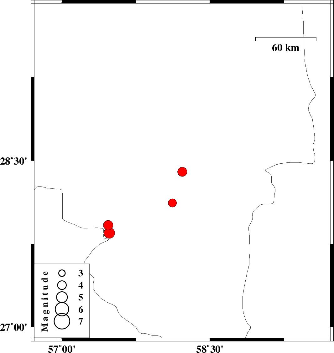
| 2014/05/12 | 16:42:21.7 | 21:12:21.7 | 28.4 | 58.22 | 15 | ML:4.3 | Kerman Province, 56 km South-East of Jiroft | ||
| 2014/05/09 | 06:17:25.5 | 10:47:25.5 | 27.92 | 57.47 | 14 | ML:4.4 | Kerman Province, 22 km West of Kahnuj | ||
| 2014/05/09 | 00:08:43.7 | 04:38:43.7 | 27.85 | 57.48 | 14 | ML:4.9 | Kerman Province, 24 km South-West of Kahnuj | ||
| 2014/05/06 | 13:28:23.0 | 17:58:23.0 | 28.12 | 58.12 | 16 | ML:3.8 | Kerman Province, 46 km North-East of Kahnuj |