
| Prel. Rep. | Date | Time(UTC) | Time(Local) | Lat. | Lon. | Depth | Mag. | Region | Waveform |
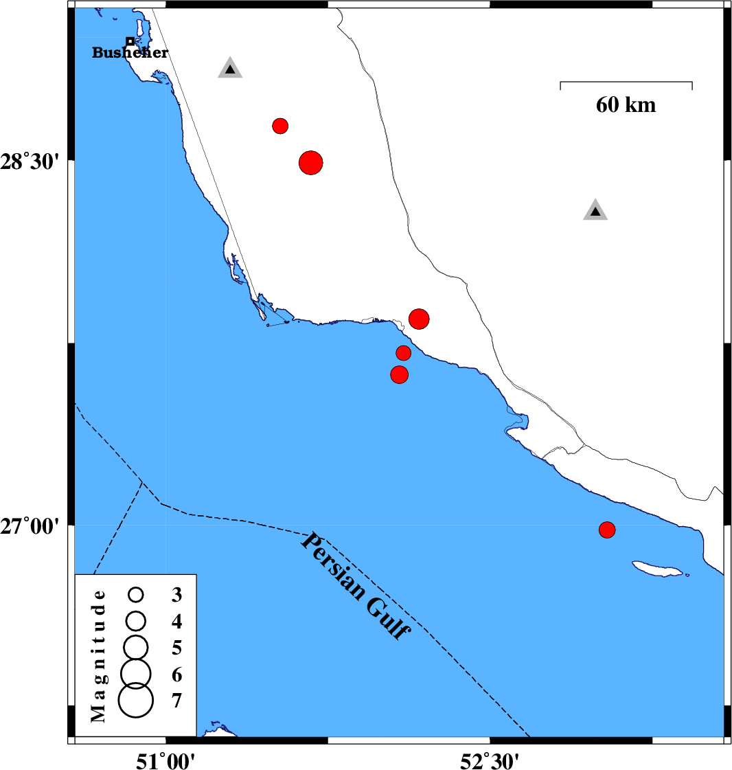
| 2014/04/25 | 23:18:23.7 | 03:48:23.7 | 27.71 | 52.1 | 33 | ML:3.1 | Persian Gulf, 13 km South of Bandar-e kangan | ||
| 2014/04/25 | 11:57:00.3 | 16:27:00.3 | 27.85 | 52.17 | 24 | ML:4.3 | Bushehr Province, 11 km East of Bandar-e kangan | ||
| 2014/04/25 | 01:48:29.7 | 06:18:29.7 | 27.62 | 52.08 | 33 | ML:3.7 | Persian Gulf, 24 km South of Bandar-e kangan | ||
| 2014/04/17 | 01:12:22.8 | 05:42:22.8 | 28.64 | 51.53 | 24 | ML:3.3 | Bushehr Province, 15 km East of Khormog | ||
| 2014/04/16 | 23:31:37.3 | 04:01:37.3 | 28.49 | 51.67 | 11 | ML:5 | Bushehr Province, 34 km South-East of Khormog | ||
| 2014/04/12 | 22:09:32.0 | 02:39:32.0 | 26.98 | 53.04 | 18 | ML:3.4 | Persian Gulf, 42 km South-West of Lamerd |