
| Prel. Rep. | Date | Time(UTC) | Time(Local) | Lat. | Lon. | Depth | Mag. | Region | Waveform |
| 2013/12/17 | 20:07:40.9 | 23:37:40.9 | 29.05 | 58.22 | 15 | ML:3.9 | Kerman Province, 15 km West of Bam | ||
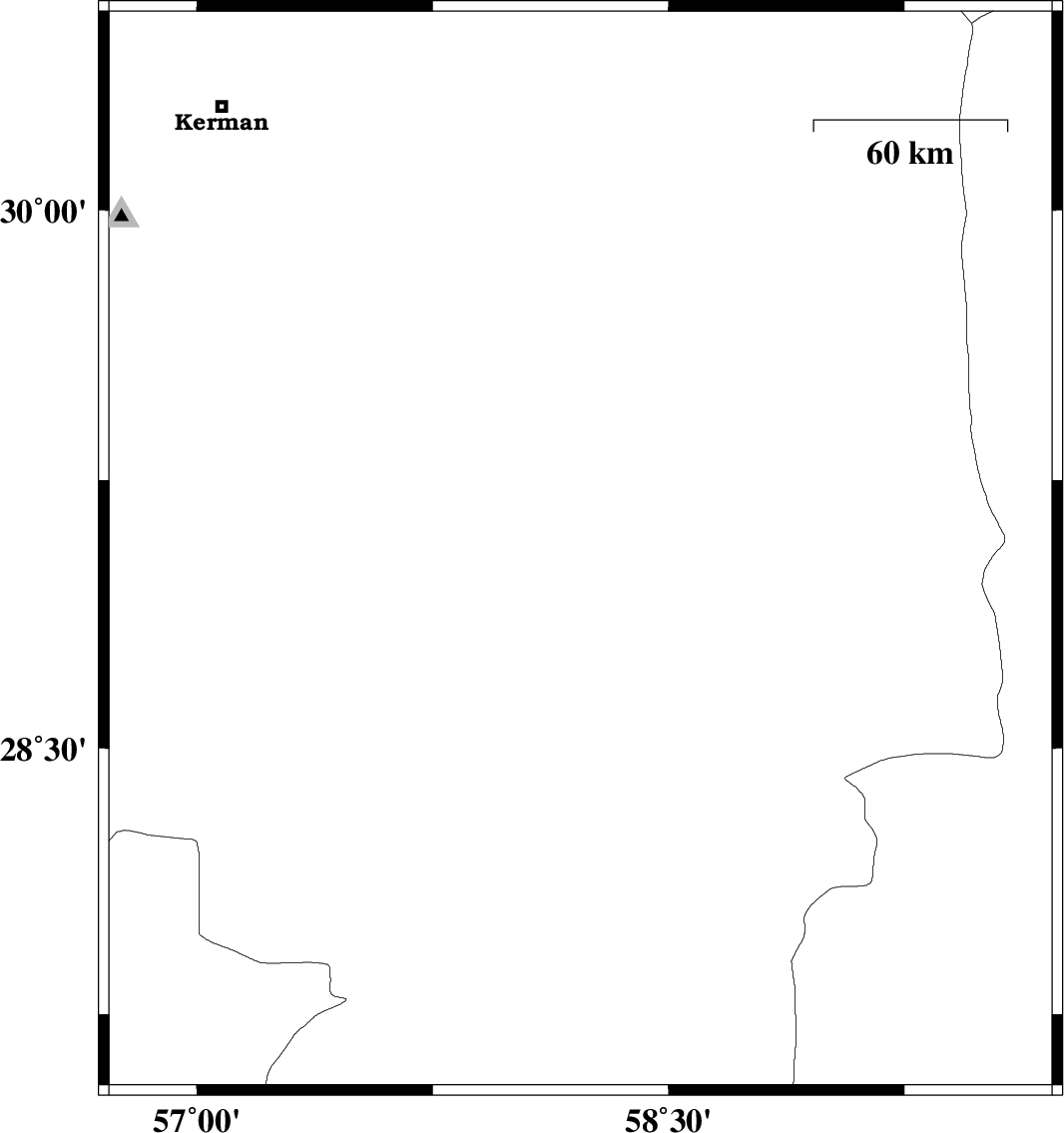
| 2013/12/17 | 17:59:08.3 | 21:29:08.3 | 30.48 | 57.24 | 14 | ML:2.6 | Kerman Province, 26 km North-East of Kerman | ||
| 2013/12/17 | 05:19:32.9 | 08:49:32.9 | 28.27 | 59.05 | 18 | ML:3.7 | Kerman Province, 115 km South-East of Bam | ||
| 2013/12/08 | 13:26:30.8 | 16:56:30.8 | 28.31 | 58.22 | 18 | ML:3.3 | Kerman Province, 61 km South-East of Jiroft | ||
| 2013/12/05 | 11:28:50.1 | 14:58:50.1 | 29.04 | 58.06 | 15 | ML:3.4 | Kerman Province, 30 km West of Bam | ||
| 2013/11/18 | 15:27:43.0 | 18:57:43.0 | 30.01 | 57.54 | 14 | ML:2.6 | Kerman Province, 54 km South-East of Kerman |