
Magnitude |
:3.3 |
| Date & Time (UTC) | 2013-12-08 13:26:30.8 |
| Date & Time (Local) | 1392/9/17 16:56:30.8 |
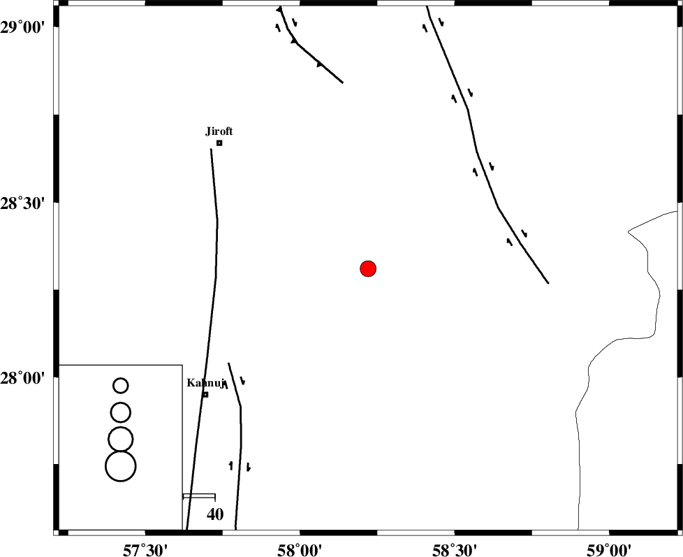
| Location | Lat:28.31 Lon: 58.22 |
| Region | Kerman Province, 61 km South-East of Jiroft |
Nearest Cities |
|
| 6 km of Mardehak, Kerman Province | |
| 29 km South East of Dosari, Kerman Province | |
| 35 km South East of Dahane-ye gomrokan, Kerman Province | |
| 37 km South East of Aliabad-e qadiri, Kerman Province | |
| 43 km North West of Borj-e abbasabad, Kerman Province | |
| Depth | 18 km |
| Agency | |
Faults within 150 km: |
|
| BAM_F (Length: 118 km) , Distance to epicenter: 45 km | |
| SABZEVARAN_F (Length: 190 km) , Distance to epicenter: 48 km | |
| JIROFT_F (Length: 144 km) , Distance to epicenter: 53 km | |
| Number of Phases | 6 |
| RMS | 0.1 |
| Number of Stations | 3 |
| Error in Latitude | >1.5 km |
| Error in Longitude | 1.2 km |
| Error in Depth | 3.1 km |
Download waveform in seisan format
to download seisan software Click here
to access information about IIEES stations Click here
Amplitude | ||||||||
| UID | Agency | Station | Component | Amplitude | Period | Arrival Time | Proccessing Time | Signal Clip |
| 91169 | IIEES | KRBR | E | 200.2 | 0.2 | 2013-12-08 13:27:39 | 2013-12-08 04:04:00 | n |
Phase | ||||||||||||
| Agency | Station | Component | Phase Type | Phase Quality | First Motion | Observed Arrival Time | Time Residual | Loc. Flag | Input Weight | Distance | Azimuth | |
| IIEES | BNDS | Z | Pn | E | 2013-12-08 13:27:06 | 0.02 | y | 225 | 244 | |||
| IIEES | BNDS | N | Sg | E | 2013-12-08 13:27:34 | 0.06 | y | 225 | 244 | |||
| IIEES | KRBR | Z | Pn | E | 2013-12-08 13:27:07 | -0.16 | y | 233 | 323 | |||
| IIEES | KRBR | N | Sg | E | 2013-12-08 13:27:37 | 0.06 | y | 233 | 323 | |||
| IIEES | ZHSF | Z | Pn | E | 2013-12-08 13:27:13 | -0.11 | y | 288 | 59 | |||
| IIEES | ZHSF | N | Sg | E | 2013-12-08 13:27:52 | 0.12 | y | 288 | 59 | |||