
| Prel. Rep. | Date | Time(UTC) | Time(Local) | Lat. | Lon. | Depth | Mag. | Region | Waveform |
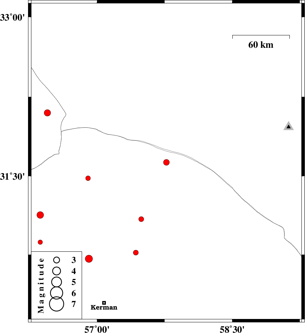
| 2013/12/14 | 20:56:53.1 | 00:26:53.1 | 31.63 | 57.77 | 14 | ML:2.9 | Kerman Province, 99 km North-East of Ravar | ||
| 2013/12/12 | 11:41:05.3 | 15:11:05.3 | 30.71 | 56.91 | 17 | ML:3.7 | Kerman Province, 35 km South-East of Zarand | ||
| 2013/12/05 | 10:18:59.8 | 13:48:59.8 | 30.87 | 56.37 | 15 | ML:2.2 | Kerman Province, 20 km West of Zarand | ||
| 2013/12/01 | 09:44:55.3 | 13:14:55.3 | 31.13 | 56.37 | 14 | ML:3.4 | Kerman Province, 40 km North-West of Zarand | ||
| 2013/11/27 | 15:18:08.6 | 18:48:08.6 | 31.48 | 56.9 | 14 | ML:2.4 | Kerman Province, 25 km North of Ravar | ||
| 2013/11/27 | 09:05:05.7 | 12:35:05.7 | 31.09 | 57.49 | 14 | ML:2.5 | Kerman Province, 67 km South-East of Ravar | ||
| 2013/11/24 | 02:11:41.8 | 05:41:41.8 | 32.1 | 56.45 | 15 | ML:3.3 | Yazd Province, 99 km North-West of Ravar | ||
| 2013/11/17 | 18:47:46.0 | 22:17:46.0 | 30.77 | 57.43 | 14 | ML:2.6 | Kerman Province, 63 km North-East of Kerman |