
| Prel. Rep. | Date | Time(UTC) | Time(Local) | Lat. | Lon. | Depth | Mag. | Region | Waveform |
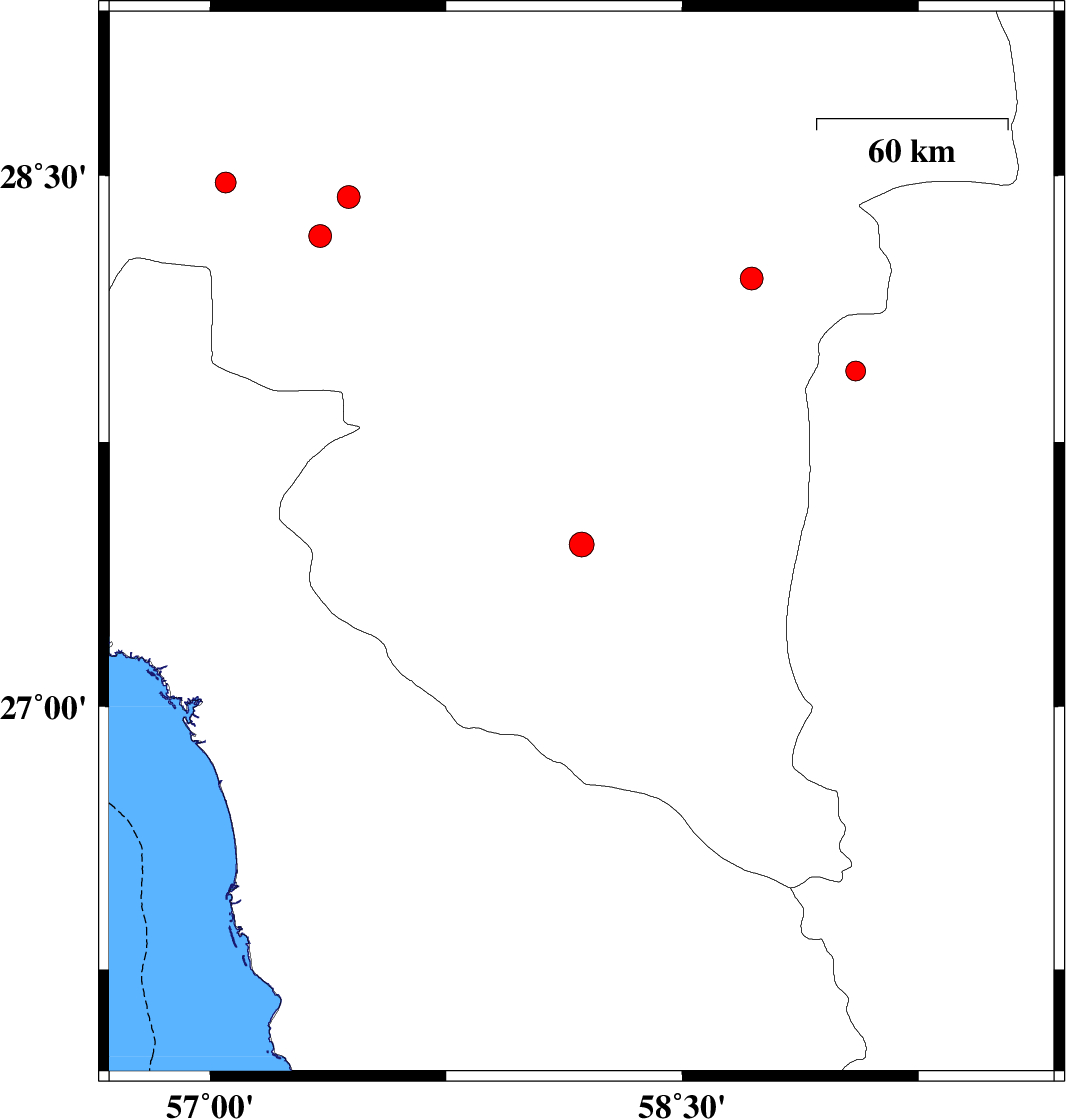
| 2012/10/16 | 23:43:53.5 | 03:13:53.5 | 27.46 | 58.18 | 14 | ML:3.5 | Kerman Province, 67 km East of Manujan | ||
| 2012/10/07 | 20:20:09.6 | 23:50:09.6 | 27.95 | 59.05 | 14 | ML:2.8 | Sistan va Baloochestan Province, 133 km East of Kahnuj | ||
| 2012/09/25 | 19:04:07.4 | 22:34:07.4 | 28.48 | 57.05 | 30 | ML:2.9 | Kerman Province, 70 km South-West of Jiroft | ||
| 2012/09/21 | 09:03:42.6 | 12:33:42.6 | 28.44 | 57.44 | 14 | ML:3.2 | Kerman Province, 39 km South-West of Jiroft | ||
| 2012/09/19 | 22:09:12.6 | 02:39:12.6 | 28.21 | 58.72 | 18 | ML:3.2 | Kerman Province, 106 km South-East of Bam | ||
| 2012/09/19 | 02:19:38.5 | 06:49:38.5 | 28.33 | 57.35 | 14 | ML:3.2 | Kerman Province, 54 km North-West of Kahnuj |