
Magnitude |
:3.5 |
| Date & Time (UTC) | 2012-10-16 23:43:53.5 |
| Date & Time (Local) | 1391/7/26 03:13:53.5 |
| Location | Lat:27.46 Lon: 58.18 |
| Region | Kerman Province, 67 km East of Manujan |
Nearest Cities |
|
| 30 km East of Qalehy-eganj, Kerman Province | |
| 47 km North East of Keshmiran, Kerman Province | |
| 55 km South East of Bargah, Kerman Province | |
| 68 km North East of Manujan, Kerman Province | |
| 71 km South West of Borj-e abbasabad, Kerman Province | |
| Depth | 14 km |
| Agency | |
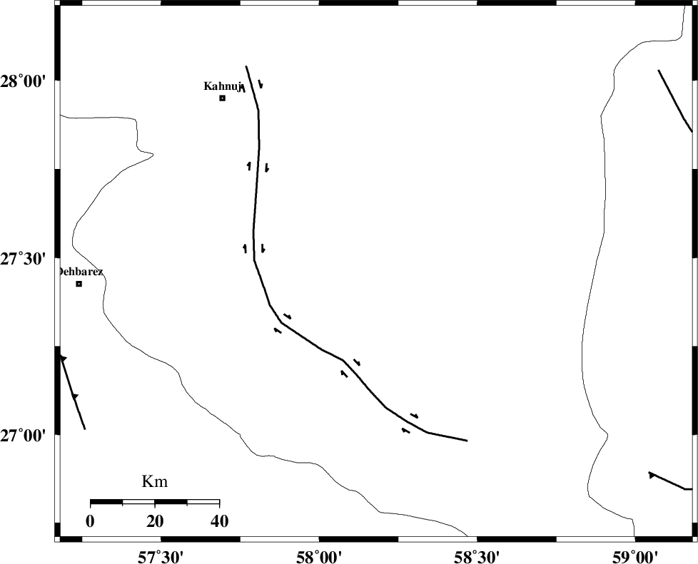
Faults within 150 km: |
|
| JIROFT_F (Length: 144 km) , Distance to epicenter: 30 km | |
| SABZEVARAN_F (Length: 190 km) , Distance to epicenter: 55 km | |
| ZENDAN_MINAB_F_Z1 (Length: 183 km) , Distance to epicenter: 95 km | |
| Number of Phases | 5 |
| RMS | 0.1 |
| Number of Stations | 4 |
| Error in Latitude | >3.9 km |
| Error in Longitude | 2.5 km |
| Error in Depth | 7.8 km |
Download waveform in seisan format
to download seisan software Click here
to access information about IIEES stations Click here
Amplitude | ||||||||
| UID | Agency | Station | Component | Amplitude | Period | Arrival Time | Proccessing Time | Signal Clip |
| 86629 | IIEES | BNDS | E | 517.4 | 0.28 | 2012-10-16 23:44:53 | 2012-10-17 12:12:00 | n |
| 86630 | IIEES | BNDS | N | 503.8 | 0.48 | 2012-10-16 23:44:53 | 2012-10-17 12:12:00 | n |
| 86631 | IIEES | GHIR | E | 43.9 | 0.4 | 2012-10-16 23:45:57 | 2012-10-17 12:12:00 | n |
Phase | ||||||||||||
| Agency | Station | Component | Phase Type | Phase Quality | First Motion | Observed Arrival Time | Time Residual | Loc. Flag | Input Weight | Distance | Azimuth | |
| IIEES | BNDS | Z | Pn | E | 2012-10-16 23:44:26 | 0.19 | y | 198 | 268 | |||
| IIEES | BNDS | N | Sg | E | 2012-10-16 23:44:49 | -0.01 | y | 198 | 268 | |||
| IIEES | CHBR | Z | Pn | E | 2012-10-16 23:44:39 | -0.03 | y | 309 | 131 | |||
| IIEES | ZHSF | Z | Pn | E | 2012-10-16 23:44:44 | 0.03 | y | 348 | 46 | |||
| IIEES | GHIR | Z | Pn | E | 2012-10-16 23:45:05 | -0.27 | y | 519 | 281 | |||