| Prel. Rep. | Date | Time(UTC) | Time(Local) | Lat. | Lon. | Depth | Mag. | Region | Waveform |
|
|
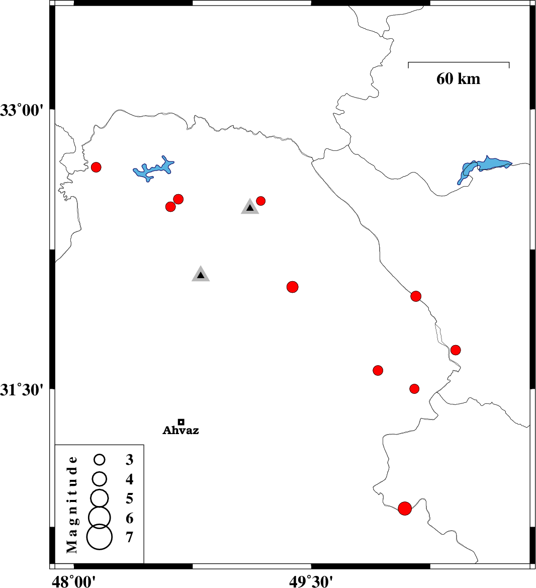
2012/07/18
|
11:04:51.7
|
15:34:51.7
| 32.05 | 49.38 | 37 |
ML:3.2
|
Khoozestan Province, 14 km North of Masjed Soleyman | |
|
|
2012/07/18
|
09:09:44.1
|
13:39:44.1
| 31.5 | 50.15 | 14 |
ML:2.7
|
Khoozestan Province, 24 km East of Bagh Malek | |
|
|
2012/07/12
|
23:45:49.9
|
04:15:49.9
| 32 | 50.16 | 14 |
ML:2.9
|
Chaharmahal Bakhtiari Province, 33 km North-East of Izeh | |
|
|
2012/07/08
|
22:32:22.3
|
03:02:22.3
| 32.48 | 48.61 | 14 |
ML:2.8
|
Khoozestan Province, 24 km East of Andimeshk | |
|
|
2012/07/07
|
18:47:22.9
|
23:17:22.9
| 32.52 | 48.66 | 16 |
ML:2.8
|
Khoozestan Province, 30 km East of Andimeshk | |
|
|
2012/07/07
|
03:22:00.4
|
07:52:00.4
| 31.71 | 50.41 | 16 |
ML:2.8
|
Chaharmahal Bakhtiari Province, 39 km South-West of Ardel | |
|
|
2012/07/05
|
09:05:32.8
|
13:35:32.8
| 32.51 | 49.18 | 14 |
ML:2.5
|
Khoozestan Province, 14 km North of Lali | |
|
|
2012/07/01
|
22:49:04.3
|
03:19:04.3
| 32.69 | 48.14 | 14 |
ML:2.8
|
Khoozestan Province, 32 km North-West of Andimeshk | |
|
|
2012/06/24
|
14:14:11.5
|
18:44:11.5
| 31.6 | 49.92 | 14 |
ML:2.8
|
Khoozestan Province, 9 km Bagh Malek | |
|
|
2012/06/23
|
11:13:41.7
|
15:43:41.7
| 30.85 | 50.09 | 14 |
ML:3.8
|
Kohkiluieh va boyerahmad Province, 32 km North-West of Behbahan | |
