
| Prel. Rep. | Date | Time(UTC) | Time(Local) | Lat. | Lon. | Depth | Mag. | Region | Waveform |
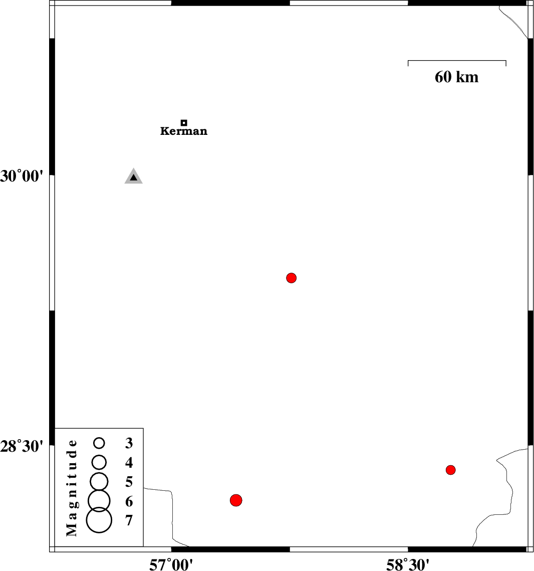
| 2012/05/30 | 06:45:28.4 | 11:15:28.4 | 29.43 | 57.76 | 14 | ML:2.8 | Kerman Province, 85 km North of Jiroft | ||
| 2012/05/29 | 18:43:53.1 | 23:13:53.1 | 28.19 | 57.41 | 14 | ML:3.4 | Kerman Province, 39 km North-West of Kahnuj | ||
| 2012/05/28 | 10:12:01.8 | 14:42:01.8 | 28.36 | 58.77 | 14 | ML:2.7 | Kerman Province, 92 km South-East of Bam |