
| Prel. Rep. | Date | Time(UTC) | Time(Local) | Lat. | Lon. | Depth | Mag. | Region | Waveform |
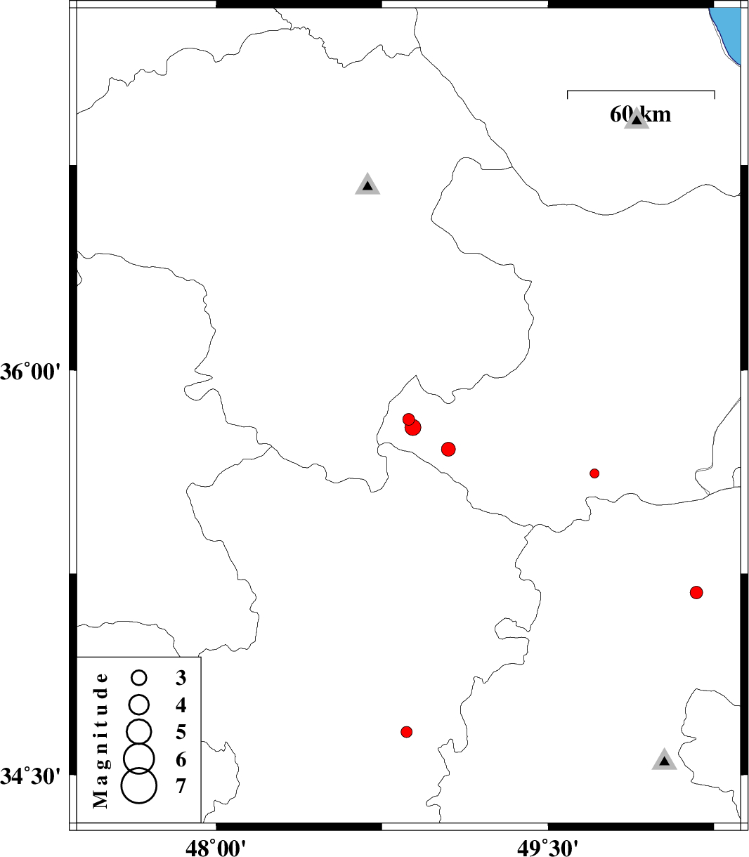
| 2012/05/11 | 13:59:27.9 | 18:29:27.9 | 35.82 | 48.87 | 14 | ML:2.4 | Ghazvin Province, 41 km South-East of Qeydar | ||
| 2012/05/11 | 13:23:56.9 | 17:53:56.9 | 35.79 | 48.89 | 14 | ML:3.3 | Ghazvin Province, 48 km North-West of Razan | ||
| 2012/04/29 | 12:25:42.9 | 16:55:42.9 | 35.18 | 50.17 | 17 | ML:2.5 | Markazi Province, 25 km North-West of Saveh | ||
| 2012/04/25 | 09:51:48.8 | 14:21:48.8 | 34.66 | 48.86 | 18 | ML:2.2 | Hamedan Province, 40 km North of Malayer | ||
| 2012/04/22 | 07:47:05.8 | 12:17:05.8 | 35.71 | 49.05 | 16 | ML:2.8 | Ghazvin Province, 37 km North of Razan | ||
| 2012/04/12 | 20:10:53.1 | 00:40:53.1 | 35.62 | 49.71 | 15 | ML:1.9 | Ghazvin Province, 49 km South of Takestan |