
| Prel. Rep. | Date | Time(UTC) | Time(Local) | Lat. | Lon. | Depth | Mag. | Region | Waveform |
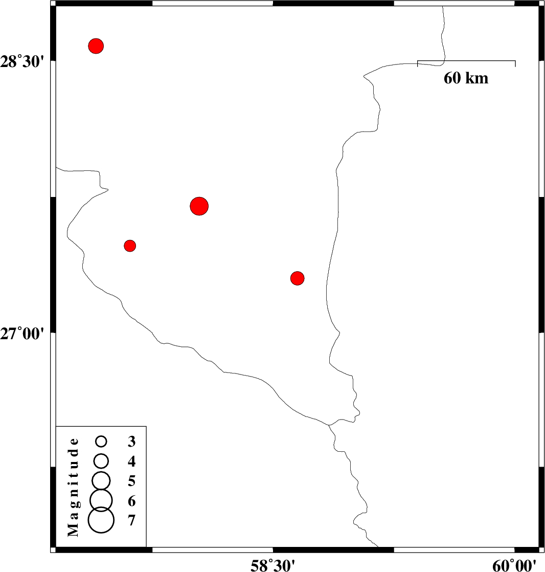
| 2012/05/07 | 17:09:31.3 | 21:39:31.3 | 27.48 | 57.61 | 14 | ML:3.3 | Kerman Province, 13 km East of Manujan | ||
| 2012/05/07 | 00:29:11.4 | 04:59:11.4 | 27.3 | 58.65 | 15 | ML:3.8 | Kerman Province, 114 km South-East of Manujan | ||
| 2012/04/29 | 11:58:38.4 | 16:28:38.4 | 28.58 | 57.4 | 31 | ML:4.2 | Kerman Province, 35 km West of Jiroft | ||
| 2012/04/18 | 17:40:36.2 | 22:10:36.2 | 27.7 | 58.04 | 15 | ML:5.1 | Kerman Province, 44 km South-East of Kahnuj |