
| Prel. Rep. | Date | Time(UTC) | Time(Local) | Lat. | Lon. | Depth | Mag. | Region | Waveform |
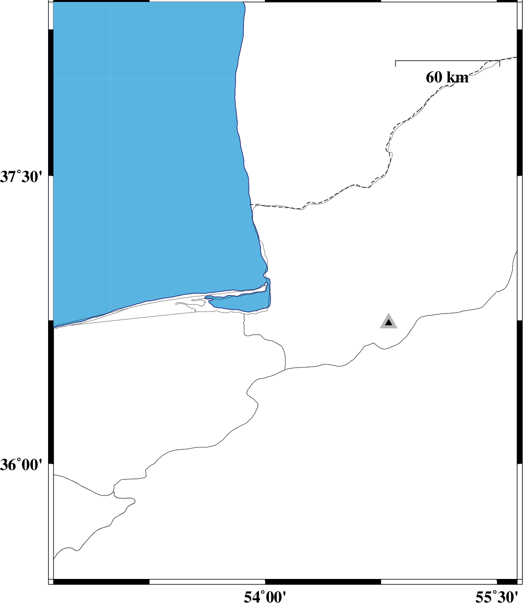
| 2012/01/13 | 01:42:17.1 | 05:12:17.1 | 36.89 | 54.13 | 33 | ML:3.3 | Golestan Province, 5 km Bandar-e torkaman | ||
| 2012/01/11 | 19:03:20.3 | 22:33:20.3 | 36.21 | 52.93 | 18 | ML:2.9 | Mazandaran Province, 15 km West of Pol-E-Sefid | ||
| 2012/01/11 | 17:22:27.8 | 20:52:27.8 | 36.29 | 52.88 | 14 | ML:3 | Mazandaran Province, 19 km South of Qaemshahr | ||
| 2012/01/11 | 17:08:00.8 | 20:38:00.8 | 36.37 | 52.83 | 16 | ML:5.2 | Mazandaran Province, 11 km Qaemshahr | ||
| 2012/01/10 | 16:14:01.7 | 19:44:01.7 | 37.31 | 54.47 | 14 | ML:3.6 | Golestan Province, 33 km North of Aq Qaleh | ||
| 2012/01/07 | 15:12:23.2 | 18:42:23.2 | 36.88 | 55.42 | 14 | ML:3.6 | Golestan Province, 39 km South of Minodasht | ||
| 2012/01/05 | 05:01:01.0 | 08:31:01.0 | 37.38 | 54.33 | 26 | ML:3.2 | Turkmenistan, 42 km North-West of Aq Qaleh | ||
| 2011/12/29 | 11:51:04.6 | 15:21:04.6 | 36.76 | 54.75 | 14 | ML:3.1 | Golestan Province, 20 km South-West of Ali Abad | ||
| 2011/12/23 | 03:52:03.9 | 07:22:03.9 | 36.71 | 55.01 | 14 | ML:2.9 | Semnan Province, 25 km South-East of Ali Abad |