
| Prel. Rep. | Date | Time(UTC) | Time(Local) | Lat. | Lon. | Depth | Mag. | Region | Waveform |
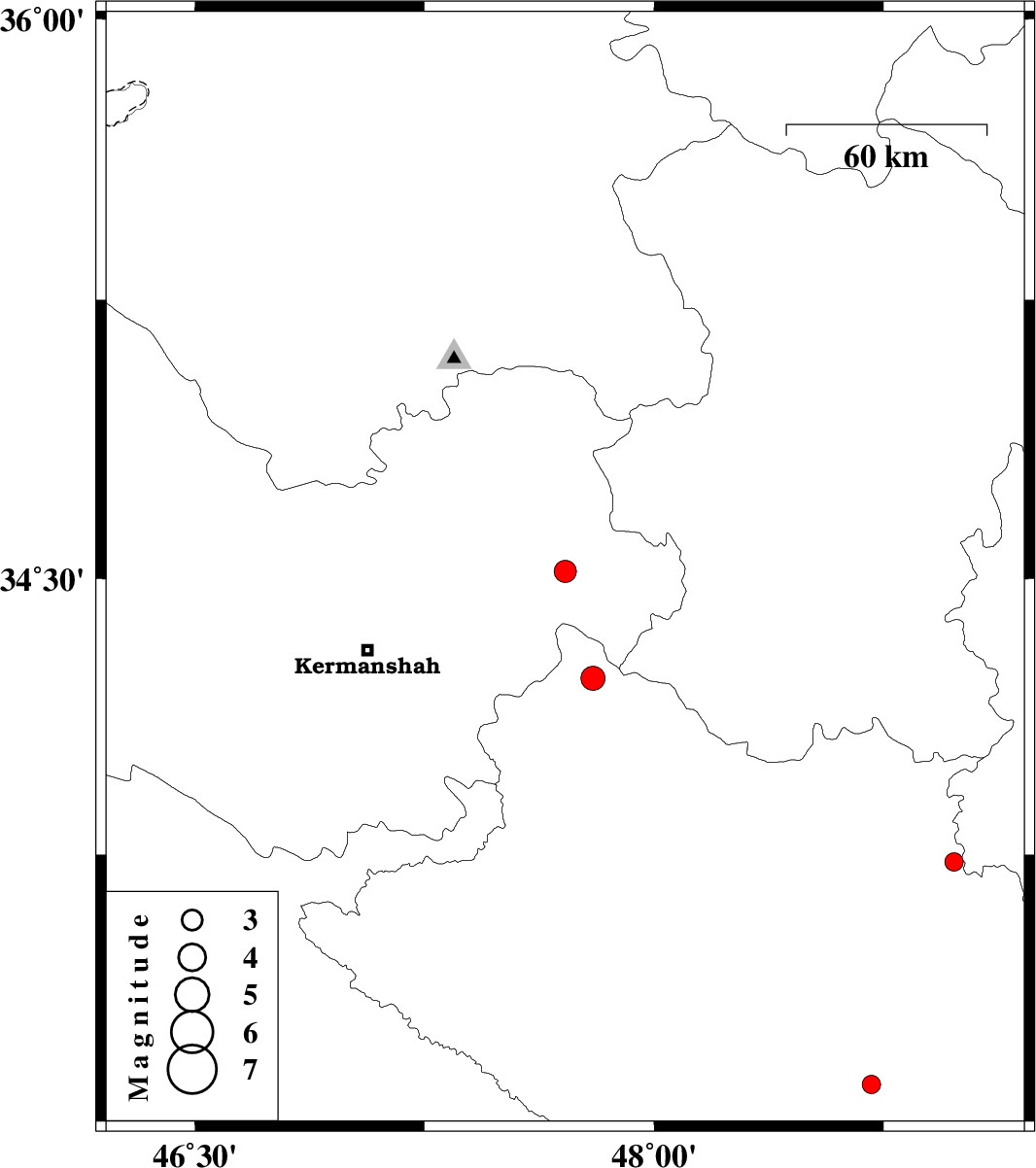
| 2011/05/31 | 15:40:28.5 | 20:10:28.5 | 34.52 | 47.71 | 15 | ML:3.3 | Kermanshah Province, 5 km Sahneh | ||
| 2011/05/30 | 20:19:11.1 | 00:49:11.1 | 34.23 | 47.8 | 18 | ML:3.5 | Lorestan Province, 22 km East of Harsin | ||
| 2011/05/27 | 17:59:59.0 | 22:29:59.0 | 33.73 | 48.98 | 44 | ML:2.7 | Lorestan Province, 29 km North of Dorud | ||
| 2011/05/26 | 01:02:55.2 | 05:32:55.2 | 33.12 | 48.71 | 14 | ML:2.7 | Lorestan Province, 51 km South-East of Khorramabad | ||
| 2011/05/22 | 23:20:37.4 | 03:50:37.4 | 33.02 | 46.42 | 15 | ML:2.9 | Ilam Province, 26 km South-East of Mehran |