
| Prel. Rep. | Date | Time(UTC) | Time(Local) | Lat. | Lon. | Depth | Mag. | Region | Waveform |
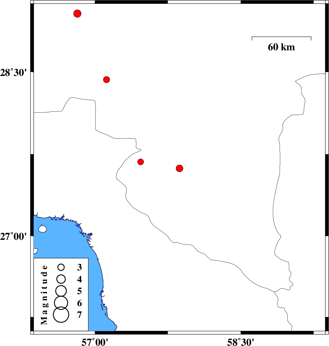
| 2011/05/14 | 18:45:30.1 | 23:15:30.1 | 27.62 | 57.87 | 15 | ML:3.2 | Kerman Province, 41 km South-East of Kahnuj | ||
| 2011/05/12 | 18:45:56.8 | 23:15:56.8 | 29.03 | 56.82 | 30 | ML:3.5 | Kerman Province, 31 km South-East of Baft | ||
| 2011/05/07 | 14:15:56.8 | 18:45:56.8 | 28.43 | 57.12 | 15 | ML:3 | Kerman Province, 66 km South-West of Jiroft | ||
| 2011/04/26 | 20:11:02.6 | 00:41:02.6 | 27.68 | 57.47 | 35 | ML:2.8 | Kerman Province, 30 km North of Manujan |