
| Prel. Rep. | Date | Time(UTC) | Time(Local) | Lat. | Lon. | Depth | Mag. | Region | Waveform |
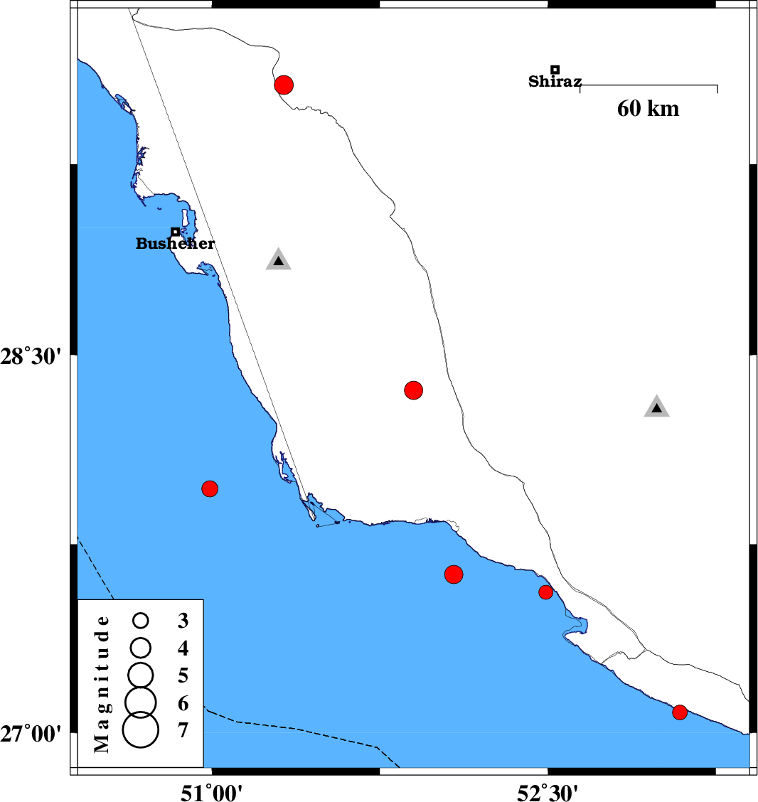
| 2008/01/09 | 22:27:31.0 | 01:57:31.0 | 28.36 | 51.9 | 6 | ML:3.7 | 59 km South-West of Farashband, Fars Province | ||
| 2008/01/05 | 03:31:42.8 | 07:01:42.8 | 27.97 | 50.99 | 18 | ML:3.3 | Persian Gulf, 84 km South-West of Khormog | ||
| 2008/01/04 | 00:04:08.1 | 03:34:08.1 | 27.08 | 53.09 | 26 | ML:2.9 | Persian Gulf, 29 km South of Lamerd | ||
| 2007/12/29 | 02:58:43.4 | 06:28:43.4 | 27.56 | 52.49 | 31 | ML:2.8 | Persian Gulf, 35 km South-East of Jam | ||
| 2007/12/18 | 01:02:21.2 | 04:32:21.2 | 27.63 | 52.08 | 24 | ML:3.7 | Persian Gulf, 21 km South of Bandar-e kangan | ||
| 2007/12/11 | 00:29:42.1 | 03:59:42.1 | 29.56 | 51.32 | 6 | ML:3.8 | 32 km West of Kazerun, Fars Province |