
| Prel. Rep. | Date | Time(UTC) | Time(Local) | Lat. | Lon. | Depth | Mag. | Region | Waveform |
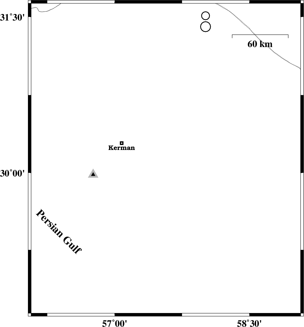
| 2006/07/12 | 20:39:24.5 | 00:09:24.5 | 30.13 | 57.57 | 14 | ML:3 | 50 km South-East of Kerman, Kerman Province | ||
| 2006/07/09 | 00:15:38.1 | 03:45:38.1 | 29.87 | 58.54 | 14 | ML:3.4 | 86 km North-East of Bam, Kerman Province | ||
| 2006/07/08 | 21:00:55.7 | 00:30:55.7 | 29.26 | 58.56 | 14 | ML:4.4 | 25 km North-East of Bam, Kerman Province | ||
| 2006/06/30 | 12:47:24.5 | 16:17:24.5 | 29.8 | 57.63 | 15 | ML:3.5 | 75 km South-East of Kerman, Kerman Province | ||
| 2006/06/29 | 09:24:31.9 | 12:54:31.9 | 29.3 | 58.42 | 38 | ML:3.3 | 22 km North of Bam, Kerman Province | ||
| 2006/06/25 | 04:20:28.2 | 07:50:28.2 | 29.25 | 58.42 | 14 | ML:3.2 | 17 km North of Bam, Kerman Province | ||
| 2006/06/15 | 06:01:13.7 | 09:31:13.7 | 29.19 | 58.47 | 15 | ML:2.6 | 14 km East of Bam, Kerman Province |