
Magnitude |
:3.3 |
| Date & Time (UTC) | 2006-06-29 09:24:31.9 |
| Date & Time (Local) | 1385/4/8 12:54:31.9 |
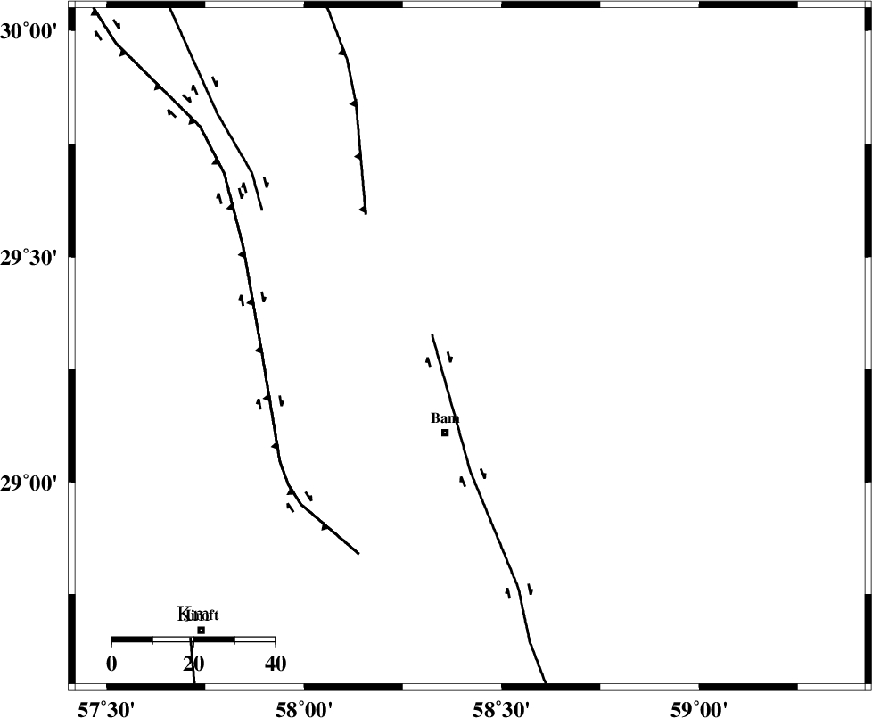
| Location | Lat:29.3 Lon: 58.42 |
| Region | 22 km North of Bam, Kerman Province |
Nearest Cities |
|
| 19 km North of Poshtrud, Kerman Province | |
| 22 km North of Bam, Kerman Province | |
| 28 km North of Baravat, Kerman Province | |
| 44 km North West of Qasemabad, Kerman Province | |
| 45 km North West of Abshur-e nezamabad, Kerman Province | |
| Depth | 38 km |
| Agency | |
Faults within 150 km: |
|
| BAM_F (Length: 118 km) , Distance to epicenter: 10 km | |
| SHAHDAD_F (Length: 108 km) , Distance to epicenter: 42 km | |
| GOWK_F (Length: 152 km) , Distance to epicenter: 51 km | |
| Number of Phases | 6 |
| RMS | 0.1 |
| Number of Stations | 5 |
| Error in Latitude | >4.6 km |
| Error in Longitude | 1.7 km |
| Error in Depth | 5.6 km |
Download waveform in seisan format
to download seisan software Click here
to access information about IIEES stations Click here
Amplitude | ||||||||
| UID | Agency | Station | Component | Amplitude | Period | Arrival Time | Proccessing Time | Signal Clip |
| 35192 | IIEES | ZHSF | E | 166.2 | 0.4 | 2006-06-29 09:25:44 | 2008-03-02 12:02:00 | n |
| 35193 | IIEES | ZHSF | N | 155.5 | 0.37 | 2006-06-29 09:25:44 | 2008-03-02 12:02:00 | n |
| 35194 | IIEES | BNDS | E | 148.2 | 0.61 | 2006-06-29 09:26:05 | 2008-03-02 12:02:00 | n |
| 35195 | IIEES | BNDS | N | 111 | 0.61 | 2006-06-29 09:26:06 | 2008-03-02 12:02:00 | n |
Phase | ||||||||||||
| Agency | Station | Component | Phase Type | Phase Quality | First Motion | Observed Arrival Time | Time Residual | Loc. Flag | Input Weight | Distance | Azimuth | |
| IIEES | KRBR | Z | PG | E | 2006-06-29 09:25:01 | 0 | y | 177 | 296 | |||
| IIEES | ZHSF | Z | PG | E | 2006-06-29 09:25:09 | -0.2 | y | 231 | 81 | |||
| IIEES | ZHSF | N | SG | E | 2006-06-29 09:25:36 | 0.1 | y | 231 | 81 | |||
| IIEES | BNDS | Z | PN | E | 2006-06-29 09:25:15 | 0.1 | y | 305 | 227 | |||
| IIEES | GHIR | Z | PN | E | 2006-06-29 09:25:44 | -0.1 | y | 542 | 259 | |||
| IIEES | NASN | Z | PN | E | 2006-06-29 09:25:59 | 0 | y | 661 | 307 | |||