
| Prel. Rep. | Date | Time(UTC) | Time(Local) | Lat. | Lon. | Depth | Mag. | Region | Waveform |
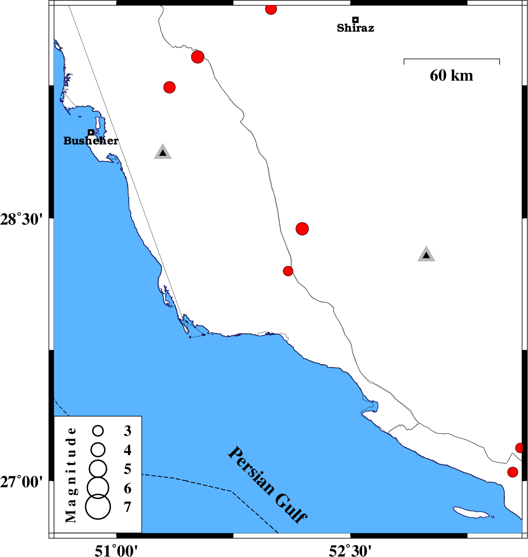
| 2006/06/09 | 20:18:35.2 | 23:48:35.2 | 28.2 | 52.1 | 18 | ML:2.8 | 41 km North of Bandar-e kangan, Bushehr Province | ||
| 2006/06/05 | 15:48:13.9 | 19:18:13.9 | 29.68 | 51.99 | 18 | ML:3.2 | 32 km East of Kazerun, Fars Province | ||
| 2006/06/05 | 12:29:00.8 | 15:59:00.8 | 29.41 | 51.52 | 18 | ML:3.6 | 27 km South-West of Kazerun, Fars Province | ||
| 2006/05/30 | 00:16:44.5 | 03:46:44.5 | 27.05 | 53.54 | 18 | ML:2.9 | 48 km South-East of Lamerd, Fars Province | ||
| 2006/05/29 | 21:20:53.0 | 00:50:53.0 | 27.19 | 53.59 | 33 | ML:2.8 | 44 km South-East of Lamerd, Fars Province | ||
| 2006/05/22 | 16:46:49.5 | 20:16:49.5 | 29.24 | 51.34 | 40 | ML:3.4 | 13 km East of Borazjan, Bushehr Province | ||
| 2006/05/19 | 21:59:34.5 | 01:29:34.5 | 28.44 | 52.19 | 18 | ML:3.7 | 49 km South-East of Farashband, Fars Province |