| Prel. Rep. | Date | Time(UTC) | Time(Local) | Lat. | Lon. | Depth | Mag. | Region | Waveform |
|
|
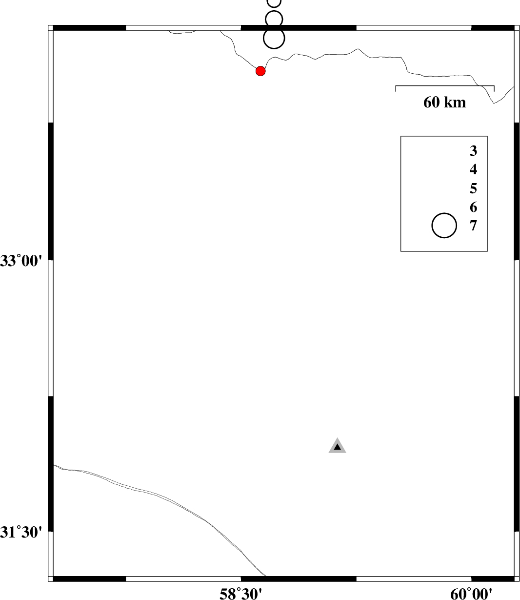
2015/11/01
|
10:14:25.1
|
13:44:25.1
| 32.749 | 58.777 | 14 |
ML:2.6
|
Khorasan(south) Province, 45 km South-West of Birjand | |
|
|
2015/10/23
|
06:10:50.4
|
09:40:50.4
| 31.962 | 59.521 | 18 |
ML:2.6
|
Khorasan(south) Province, 78 km South-West of Sarbisheh | |
|
|
2015/10/18
|
05:42:09.9
|
09:12:09.9
| 31.314 | 57.472 | 14 |
ML:2.8
|
Kerman Province, 63 km -East of Ravar | |
|
|
2015/10/18
|
02:44:52.5
|
06:14:52.5
| 33.078 | 58.811 | 14 |
ML:1.9
|
Khorasan(south) Province, 44 km North-West of Birjand | |
|
|
2015/10/18
|
02:30:14.7
|
06:00:14.7
| 32.767 | 57.547 | 18 |
ML:1.7
|
Yazd Province, 109 km South-East of Tabas | |
|
|
2015/10/17
|
06:47:09.2
|
10:17:09.2
| 33.47 | 59.63 | 14 |
ML:1.9
|
Khorasan(south) Province, 50 km South-East of Qaen | |
|
|
2015/10/17
|
01:17:19.7
|
04:47:19.7
| 33.103 | 57.54 | 14 |
ML:2.3
|
Yazd Province, 79 km South-East of Tabas | |
|
|
2015/10/09
|
13:35:34.7
|
17:05:34.7
| 34.005 | 59.328 | 18 |
ML:2.7
|
, 32 km North-East of Qaen | |
|
|
2015/10/05
|
20:35:08.2
|
00:05:08.2
| 31.748 | 59.711 | 6 |
ML:2.7
|
Khorasan(south) Province, 39 km North-West of Nehbandan | |
|
|
2015/10/03
|
00:59:45.5
|
04:29:45.5
| 34.094 | 59.344 | 17 |
ML:3.4
|
, 42 km North-East of Qaen | |
