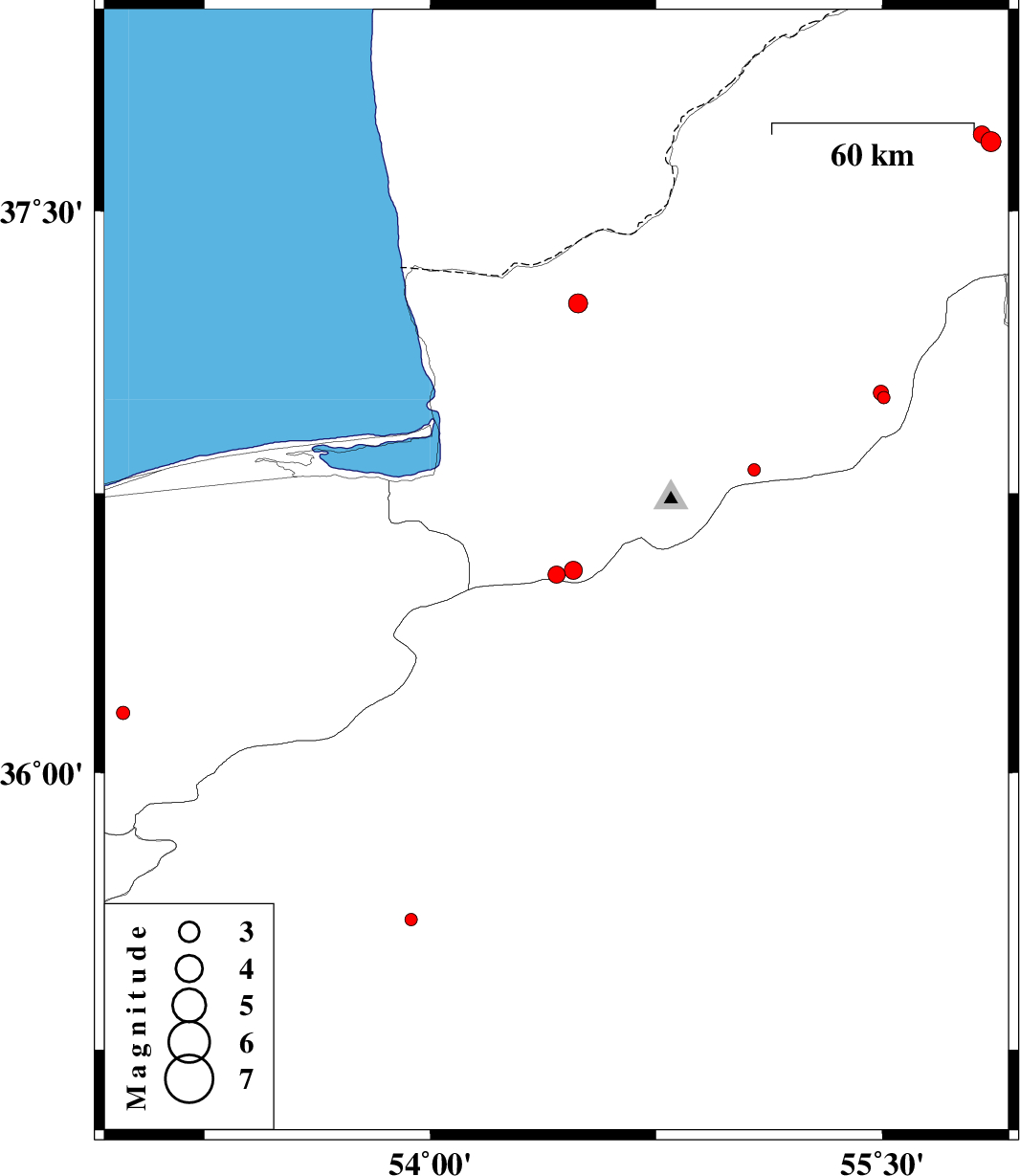
| Prel. Rep. | Date | Time(UTC) | Time(Local) | Lat. | Lon. | Depth | Mag. | Region | Waveform |
|
|
2015/10/31
|
00:56:36.7
|
04:26:36.7
| 36.532 | 54.419 | 14 |
ML:2.6
|
Golestan Province, 34 km South of Gorgan | |
|
|
2015/10/24
|
00:46:53.6
|
04:16:53.6
| 37.683 | 55.861 | 14 |
ML:3
|
Golestan Province, 47 km North-East of Kalaleh | |
|
|
2015/10/23
|
19:52:28.4
|
23:22:28.4
| 37.702 | 55.831 | 10 |
ML:2.5
|
Golestan Province, 47 km North-East of Kalaleh | |
|
|
2015/10/11
|
17:49:39.6
|
21:19:39.6
| 37.005 | 55.505 | 18 |
ML:1.8
|
Golestan Province, 27 km South-East of Minodasht | |
|
|
2015/10/11
|
02:17:36.2
|
05:47:36.2
| 36.161 | 52.981 | 17 |
ML:2
|
Mazandaran Province, 9 km of Pol-E-Sefid | |
|
|
2015/10/10
|
00:37:01.8
|
04:07:01.8
| 36.812 | 55.075 | 15 |
ML:1.9
|
Golestan Province, 23 km South of Ramian | |
|
|
2015/10/09
|
20:13:40.8
|
23:43:40.8
| 37.256 | 54.49 | 14 |
ML:2.8
|
Golestan Province, 27 km North of Aq Qaleh | |
|
|
2015/10/09
|
01:58:23.6
|
05:28:23.6
| 36.544 | 54.474 | 14 |
ML:2.7
|
Golestan Province, 33 km South of Gorgan | |
|
|
2015/10/07
|
21:07:26.7
|
00:37:26.7
| 35.603 | 53.936 | 18 |
ML:1.9
|
Semnan Province, 49 km -East of Semnan | |
|
|
2015/10/03
|
18:18:06.7
|
21:48:06.7
| 37.018 | 55.496 | 6 |
ML:2.3
|
Golestan Province, 25 km South-East of Minodasht | |
