
| Prel. Rep. | Date | Time(UTC) | Time(Local) | Lat. | Lon. | Depth | Mag. | Region | Waveform |
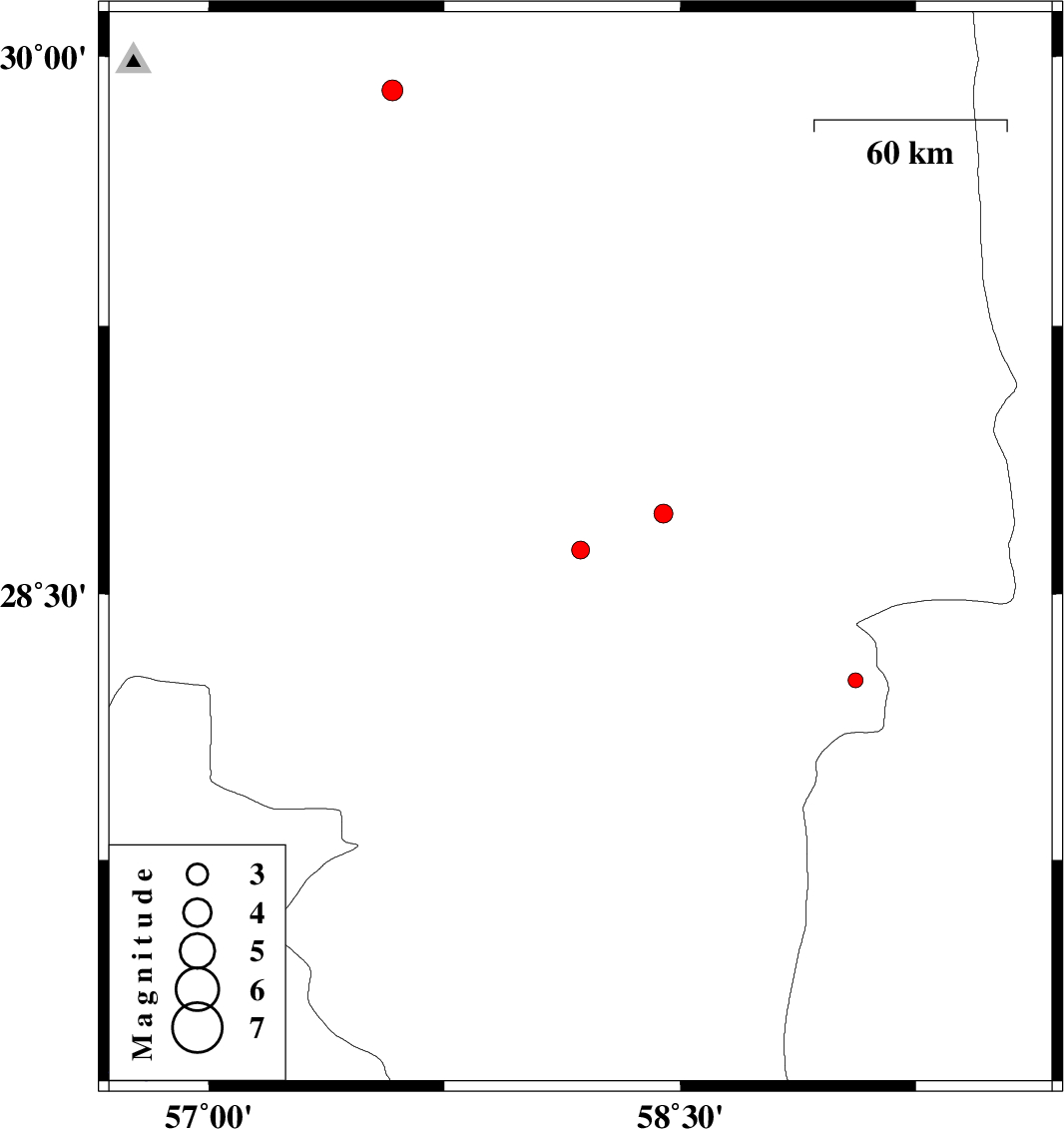
| 2015/10/09 | 09:54:23.9 | 13:24:23.9 | 28.624 | 58.183 | 14 | ML:2.6 | Kerman Province, 44 km -East of Jiroft | ||
| 2015/10/04 | 21:25:11.3 | 00:55:11.3 | 28.257 | 59.058 | 17 | ML:2.1 | Kerman Province, 117 km South-East of Bam | ||
| 2015/10/03 | 12:00:10.9 | 15:30:10.9 | 29.906 | 57.584 | 14 | ML:3 | Kerman Province, 65 km South-East of Kerman | ||
| 2015/10/02 | 03:22:44.0 | 06:52:44.0 | 28.726 | 58.447 | 15 | ML:2.7 | Kerman Province, 43 km South of Bam |