| Prel. Rep. | Date | Time(UTC) | Time(Local) | Lat. | Lon. | Depth | Mag. | Region | Waveform |
|
|
2015/09/04
|
04:28:26.6
|
08:58:26.6
| 27.87 | 56.76 | 14 |
ML:3.2
|
Hormozgan Province, 68 km North-West of Dehbarez | |
|
|
2015/08/30
|
00:23:57.3
|
04:53:57.3
| 28.044 | 57.702 | 14 |
ML:2.9
|
Kerman Province, 10 km of Kahnuj | |
|
|
2015/08/29
|
05:49:00.3
|
10:19:00.3
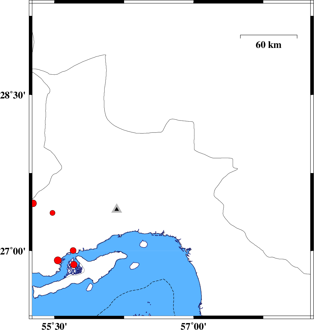
| 26.501 | 55.287 | 14 |
ML:3.2
|
Persian Gulf, 44 km -East of Bandar-e lengeh | |
|
|
2015/08/27
|
00:24:22.6
|
04:54:22.6
| 26.514 | 55.911 | 17 |
ML:4.1
|
Persian Gulf, 60 km South-West of Qeshm | |
|
|
2015/08/24
|
19:58:34.3
|
00:28:34.3
| 28.495 | 57.27 | 16 |
ML:3.4
|
Kerman Province, 50 km South-West of Jiroft | |
|
|
2015/08/16
|
16:03:14.0
|
20:33:14.0
| 28.404 | 57.479 | 17 |
ML:2.6
|
Kerman Province, 39 km South-West of Jiroft | |
|
|
2015/08/13
|
00:26:04.6
|
04:56:04.6
| 27.909 | 57.71 | 14 |
ML:3.2
|
Kerman Province, 5 km of Kahnuj | |
|
|
2015/08/12
|
22:10:38.0
|
02:40:38.0
| 27.95 | 57.536 | 14 |
ML:3.5
|
Kerman Province, 16 km -West of Kahnuj | |
|
|
2015/08/12
|
03:36:56.6
|
08:06:56.6
| 27.351 | 55.392 | 18 |
ML:2.9
|
Hormozgan Province, 90 km North-West of Bandar-e abbas | |
|
|
2015/08/11
|
02:59:49.6
|
07:29:49.6
| 28.38 | 57.035 | 16 |
ML:3.1
|
Kerman Province, 76 km South-West of Jiroft | |
|
|
2015/08/05
|
10:39:24.3
|
15:09:24.3
| 27.149 | 55.968 | 14 |
ML:2.8
|
Hormozgan Province, 31 km -West of Bandar-e abbas | |
