| Prel. Rep. | Date | Time(UTC) | Time(Local) | Lat. | Lon. | Depth | Mag. | Region | Waveform |
|
|
2015/08/31
|
14:45:12.2
|
19:15:12.2
| 31.195 | 56.925 | 14 |
ML:2.7
|
Kerman Province, 13 km -East of Ravar | |
|
|
2015/08/31
|
09:24:50.9
|
13:54:50.9
| 30.438 | 57.551 | 15 |
ML:2.9
|
Kerman Province, 48 km North-East of Kerman | |
|
|
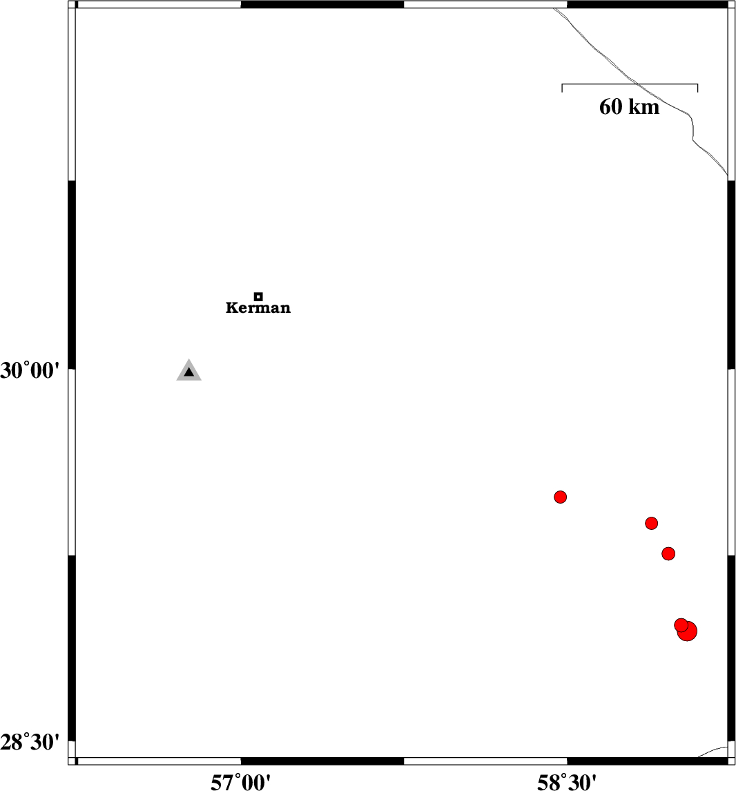
2015/08/31
|
09:21:24.1
|
13:51:24.1
| 29.951 | 57.622 | 18 |
ML:2.6
|
Kerman Province, 64 km South-East of Kerman | |
|
|
2015/08/31
|
02:18:15.1
|
06:48:15.1
| 29.933 | 57.738 | 14 |
ML:3.1
|
Kerman Province, 75 km South-East of Kerman | |
|
|
2015/08/29
|
07:45:02.0
|
12:15:02.0
| 31.418 | 56.427 | 14 |
ML:2.6
|
Kerman Province, 40 km North-West of Ravar | |
|
|
2015/08/28
|
11:22:23.8
|
15:52:23.8
| 30.512 | 57.37 | 14 |
ML:2.9
|
Kerman Province, 37 km North-East of Kerman | |
|
|
2015/08/27
|
09:26:55.8
|
13:56:55.8
| 30.912 | 56.983 | 18 |
ML:2.8
|
Kerman Province, 41 km North-East of Zarand | |
|
|
2015/08/26
|
21:46:29.7
|
02:16:29.7
| 30.075 | 57.637 | 14 |
ML:3
|
Kerman Province, 59 km South-East of Kerman | |
|
|
2015/08/26
|
13:20:26.6
|
17:50:26.6
| 30.888 | 57.01 | 15 |
ML:4.1
|
Kerman Province, 43 km -East of Zarand | |
|
|
2015/08/25
|
21:26:21.7
|
01:56:21.7
| 30.075 | 57.611 | 14 |
ML:2.9
|
Kerman Province, 56 km South-East of Kerman | |
|
|
2015/08/25
|
02:27:41.6
|
06:57:41.6
| 30.088 | 57.595 | 14 |
ML:2.6
|
Kerman Province, 54 km South-East of Kerman | |
|
|
2015/08/24
|
19:58:34.3
|
00:28:34.3
| 28.495 | 57.27 | 16 |
ML:3.4
|
Kerman Province, 50 km South-West of Jiroft | |
|
|
2015/08/24
|
18:44:45.2
|
23:14:45.2
| 31.314 | 56.846 | 15 |
ML:2.6
|
Kerman Province, 6 km of Ravar | |
