| Prel. Rep. | Date | Time(UTC) | Time(Local) | Lat. | Lon. | Depth | Mag. | Region | Waveform |
|
|
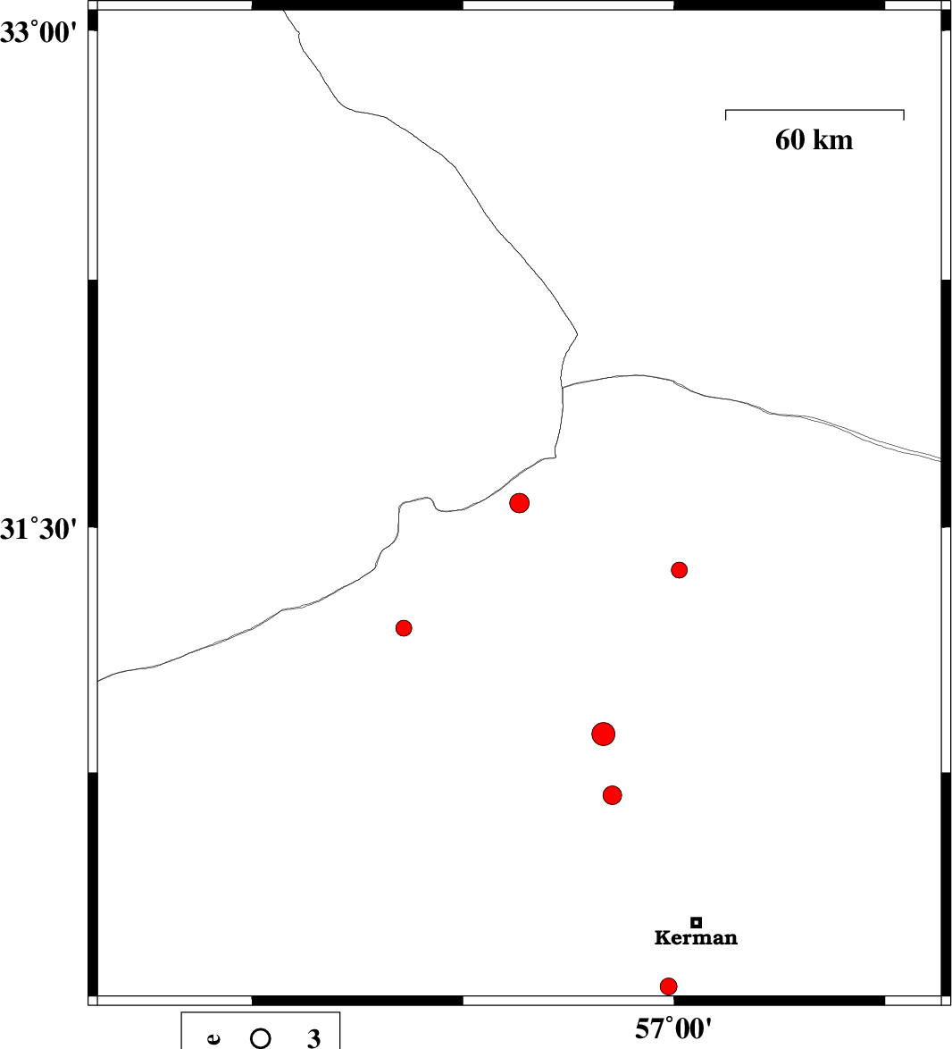
2015/08/22
|
09:13:27.1
|
13:43:27.1
| 31.562 | 56.45 | 14 |
ML:3.6
|
Kerman Province, 48 km North-West of Ravar | |
|
|
2015/08/21
|
01:21:17.3
|
05:51:17.3
| 30.124 | 57.641 | 14 |
ML:4
|
Kerman Province, 57 km South-East of Kerman | |
|
|
2015/08/18
|
02:22:33.4
|
06:52:33.4
| 30.378 | 57.463 | 10 |
ML:2.7
|
Kerman Province, 38 km -East of Kerman | |
|
|
2015/08/14
|
16:00:40.1
|
20:30:40.1
| 30.791 | 56.681 | 14 |
ML:2.7
|
Kerman Province, 11 km -East of Zarand | |
|
|
2015/08/14
|
07:06:58.5
|
11:36:58.5
| 31.375 | 56.481 | 15 |
ML:3
|
Kerman Province, 34 km North-West of Ravar | |
|
|
2015/08/13
|
08:09:06.5
|
12:39:06.5
| 31.884 | 55.74 | 14 |
ML:2.5
|
Yazd Province, 45 km North-East of Bafq | |
|
|
2015/08/11
|
00:09:04.3
|
04:39:04.3
| 32.06 | 56.719 | 14 |
ML:2.5
|
Yazd Province, 89 km North of Ravar | |
|
|
2015/08/10
|
22:39:14.2
|
03:09:14.2
| 30.17 | 57.559 | 14 |
ML:3.1
|
Kerman Province, 48 km South-East of Kerman | |
|
|
2015/08/10
|
18:50:56.1
|
23:20:56.1
| 30.119 | 57.572 | 18 |
ML:2.7
|
Kerman Province, 51 km South-East of Kerman | |
|
|
2015/08/06
|
07:52:17.5
|
12:22:17.5
| 32.262 | 56.151 | 14 |
ML:3.1
|
Yazd Province, 102 km North-East of Bafq | |
|
|
2015/08/02
|
16:19:50.9
|
20:49:50.9
| 30.11 | 57.558 | 14 |
ML:2.9
|
Kerman Province, 50 km South-East of Kerman | |
|
|
2015/08/02
|
16:03:17.3
|
20:33:17.3
| 30.121 | 57.558 | 14 |
ML:2.8
|
Kerman Province, 50 km South-East of Kerman | |
|
|
2015/07/31
|
13:20:33.2
|
17:50:33.2
| 30.093 | 57.579 | 16 |
ML:3
|
Kerman Province, 53 km South-East of Kerman | |
|
|
2015/07/28
|
16:53:07.8
|
21:23:07.8
| 30.082 | 57.603 | 18 |
ML:2.7
|
Kerman Province, 55 km South-East of Kerman | |
|
|
2015/07/25
|
17:28:11.2
|
21:58:11.2
| 30.066 | 57.636 | 15 |
ML:3.5
|
Kerman Province, 59 km South-East of Kerman | |
|
|
2015/07/25
|
16:32:18.8
|
21:02:18.8
| 30.093 | 57.604 | 14 |
ML:3.1
|
Kerman Province, 55 km South-East of Kerman | |
