
| Prel. Rep. | Date | Time(UTC) | Time(Local) | Lat. | Lon. | Depth | Mag. | Region | Waveform |
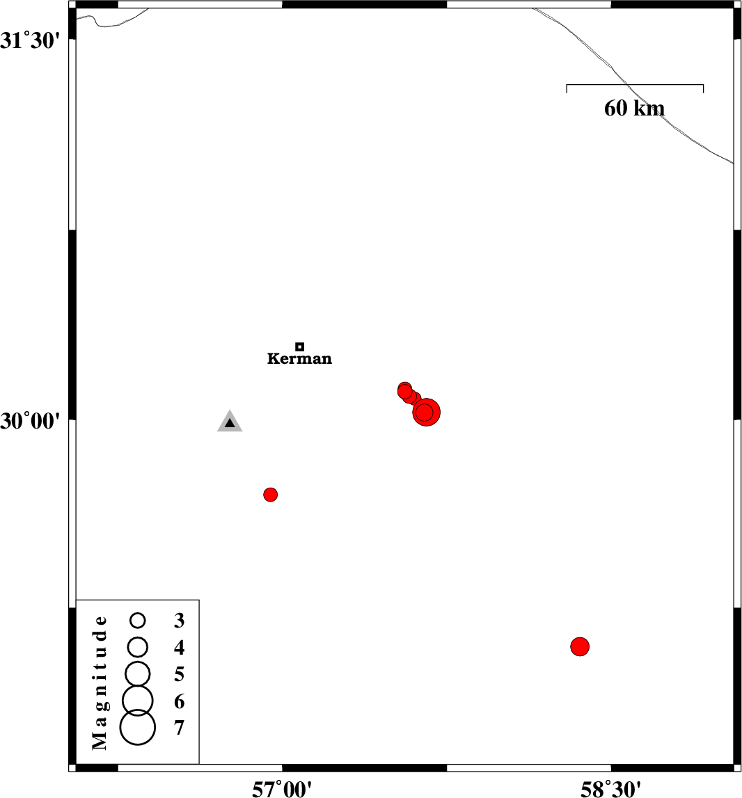
| 2015/08/02 | 19:36:20.0 | 00:06:20.0 | 30.027 | 57.647 | 16 | ML:3.5 | Kerman Province, 62 km South-East of Kerman | ||
| 2015/08/02 | 16:19:50.9 | 20:49:50.9 | 30.11 | 57.558 | 14 | ML:2.9 | Kerman Province, 50 km South-East of Kerman | ||
| 2015/08/02 | 16:03:17.3 | 20:33:17.3 | 30.121 | 57.558 | 14 | ML:2.8 | Kerman Province, 50 km South-East of Kerman | ||
| 2015/08/01 | 10:47:44.9 | 15:17:44.9 | 29.701 | 56.946 | 18 | ML:2.8 | Kerman Province, 44 km South-East of Bardsir | ||
| 2015/07/31 | 13:20:33.2 | 17:50:33.2 | 30.093 | 57.579 | 16 | ML:3 | Kerman Province, 53 km South-East of Kerman | ||
| 2015/07/31 | 10:06:30.1 | 14:36:30.1 | 30.029 | 57.656 | 14 | ML:5.6 | Kerman Province, 63 km South-East of Kerman | ||
| 2015/07/29 | 11:00:12.5 | 15:30:12.5 | 29.094 | 58.356 | 18 | ML:3.8 | Kerman Province, 2 km of Bam | ||
| 2015/07/28 | 16:53:07.8 | 21:23:07.8 | 30.082 | 57.603 | 18 | ML:2.7 | Kerman Province, 55 km South-East of Kerman |