
Magnitude |
:3 |
| Date & Time (UTC) | 2014-02-20 10:06:46.1 |
| Date & Time (Local) | 1392/12/1 13:36:46.1 |
| Location | Lat:28.6 Lon: 57.39 |
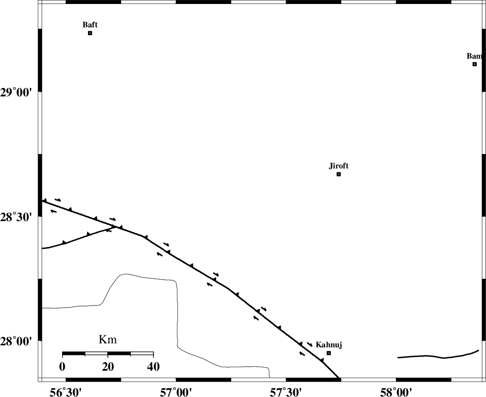
| Region | Kerman Province, 35 km West of Jiroft |
Nearest Cities |
|
| 31 km North West of Khatunabad-e zangian, Kerman Province | |
| 33 km South East of Dolatabad, Kerman Province | |
| 35 km West of Jiroft, Kerman Province | |
| 41 km West of Dolatabad, Kerman Province | |
| 45 km North West of Khesrabad, Kerman Province | |
| Depth | 18 km |
| Agency | |
Faults within 150 km: |
|
| SABZEVARAN_F (Length: 190 km) , Distance to epicenter: 32 km | |
| GOWK_F (Length: 152 km) , Distance to epicenter: 70 km | |
| JIROFT_F (Length: 144 km) , Distance to epicenter: 72 km | |
| Number of Phases | 5 |
| RMS | 0 |
| Number of Stations | 4 |
| Error in Latitude | >4.5 km |
| Error in Longitude | 5.1 km |
| Error in Depth | 5.1 km |
Download waveform in seisan format
to download seisan software Click here
to access information about IIEES stations Click here
Amplitude | ||||||||
| UID | Agency | Station | Component | Amplitude | Period | Arrival Time | Proccessing Time | Signal Clip |
| 91853 | IIEES | KRBR | E | 199.9 | 0.44 | 2014-02-20 10:07:36 | 2014-02-20 10:44:00 | n |
| 91854 | IIEES | KRBR | N | 180.5 | 0.24 | 2014-02-20 10:07:37 | 2014-02-20 10:44:00 | n |
Phase | ||||||||||||
| Agency | Station | Component | Phase Type | Phase Quality | First Motion | Observed Arrival Time | Time Residual | Loc. Flag | Input Weight | Distance | Azimuth | |
| IIEES | KRBR | Z | Pg | E | 2014-02-20 10:07:13 | 0.04 | y | 165 | 338 | |||
| IIEES | KRBR | N | Sg | E | 2014-02-20 10:07:33 | -0.02 | y | 165 | 338 | |||
| IIEES | BSRN | Z | Pn | E | 2014-02-20 10:07:44 | 0.02 | y | 409 | 24 | |||
| IIEES | YZKH | Z | Pn | E | 2014-02-20 10:07:55 | -0.01 | y | 499 | 328 | |||
| IIEES | TABS | Z | Pn | E | 2014-02-20 10:08:03 | -0.04 | y | 561 | 357 | |||