
Magnitude |
:3.3 |
| Date & Time (UTC) | 2013-01-22 12:25:52.7 |
| Date & Time (Local) | 1391/11/3 15:55:52.7 |
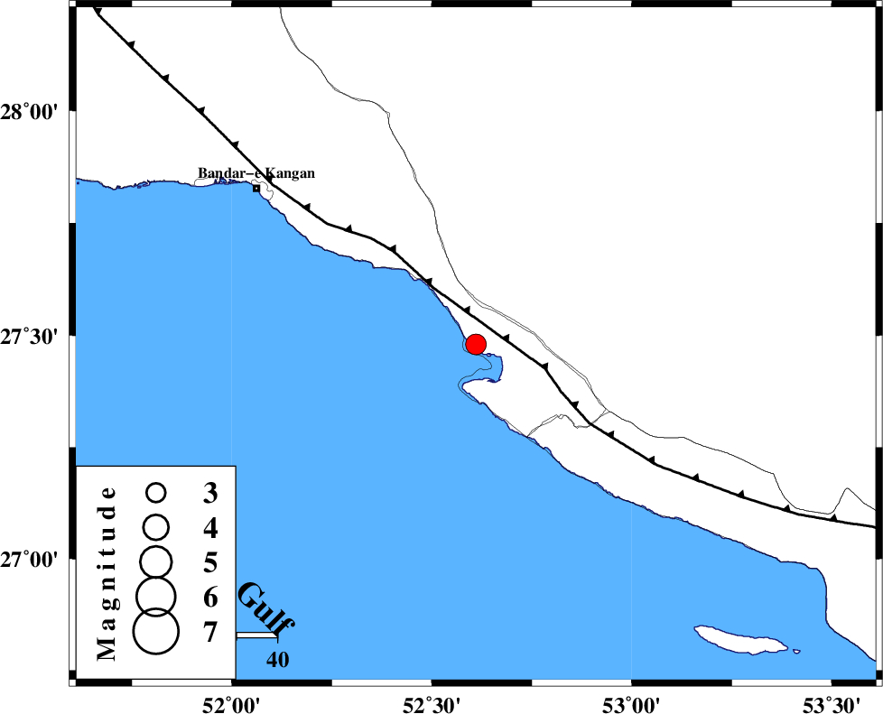
| Location | Lat:27.48 Lon: 52.61 |
| Region | Bushehr Province, 29 km West of Mehr |
Nearest Cities |
|
| 1 km North of Bandar-e asaluyeh, Bushehr Province | |
| 21 km South of Gallehdar, Fars Province | |
| 22 km North West of Chah-e mobarak, Bushehr Province | |
| 23 km South West of Ardavan-e olia, Fars Province | |
| 28 km West of Mehr, Fars Province | |
| Depth | 14 km |
| Agency | |
Faults within 150 km: |
|
| MFF3 (Length: 292 km) , Distance to epicenter: 17 km | |
| QIR_F (Length: 130 km) , Distance to epicenter: 109 km | |
| BORAZJAN_F (Length: 168 km) , Distance to epicenter: 117 km | |
| Number of Phases | 4 |
| RMS | 0.2 |
| Number of Stations | 4 |
| Error in Latitude | >8.4 km |
| Error in Longitude | 6.1 km |
| Error in Depth | 14.3 km |
Download waveform in seisan format
to download seisan software Click here
to access information about IIEES stations Click here
Amplitude | ||||||||
| UID | Agency | Station | Component | Amplitude | Period | Arrival Time | Proccessing Time | Signal Clip |
| 87675 | IIEES | GHIR | N | 678.9 | 0.48 | 2013-01-22 12:26:27 | 2013-01-22 01:25:00 | n |
| 87676 | IIEES | TABS | N | 5.8 | 0.88 | 2013-01-22 12:27:24 | 2013-01-22 01:25:00 | n |
Phase | ||||||||||||
| Agency | Station | Component | Phase Type | Phase Quality | First Motion | Observed Arrival Time | Time Residual | Loc. Flag | Input Weight | Distance | Azimuth | |
| IIEES | GHIR | Z | Pg | E | 2013-01-22 12:26:09 | -0.27 | y | 97.1 | 22 | |||
| IIEES | GHIR | N | Sg | E | 2013-01-22 12:26:21 | 0.1 | y | 97.1 | 22 | |||
| IIEES | AHRM | Z | Pg | E | 2013-01-22 12:26:25 | 0.06 | y | 201 | 320 | |||
| IIEES | KRBR | Z | Pn | E | 2013-01-22 12:27:01 | 0.16 | y | 492 | 55 | |||