
Magnitude |
:2.7 |
| Date & Time (UTC) | 2012-05-15 04:11:44.8 |
| Date & Time (Local) | 1391/2/26 08:41:44.8 |
| Location | Lat:31.28 Lon: 50.41 |
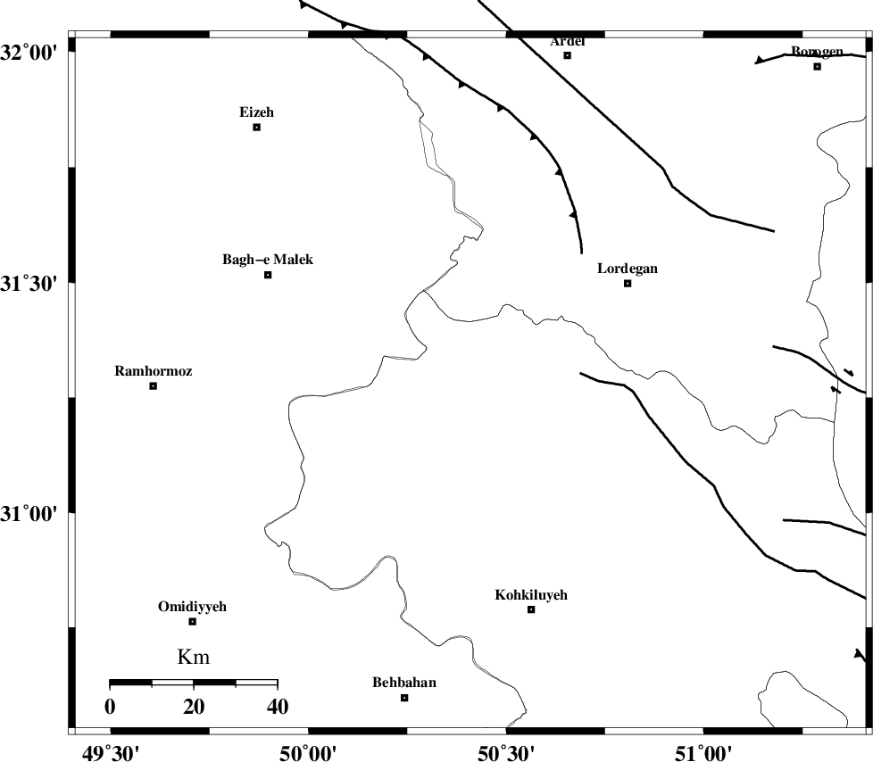
| Region | Kohkiluieh va boyerahmad Province, 45 km South-West of Lordegan |
Nearest Cities |
|
| 2 km of Dishmuk, Kohkiluieh va boyerahmad Province | |
| 11 km North of Qale-ye raiesi, Kohkiluieh va boyerahmad Province | |
| 12 km East of Esfandan, Kohkiluieh va boyerahmad Province | |
| 22 km West of Pataveh, Kohkiluieh va boyerahmad Province | |
| 33 km East of Seidun, Khoozestan Province | |
| Depth | 14 km |
| Agency | |
Faults within 150 km: |
|
| MFF2 (Length: 205 km) , Distance to epicenter: 18 km | |
| MFF4 (Length: 62 km) , Distance to epicenter: 39 km | |
| DEZFUL_EMBAYMENT (Length: 228 km) , Distance to epicenter: 49 km | |
| Number of Phases | 7 |
| RMS | 0.2 |
| Number of Stations | 5 |
| Error in Latitude | >9.2 km |
| Error in Longitude | 2.3 km |
| Error in Depth | 5.8 km |
Download waveform in seisan format
to download seisan software Click here
to access information about IIEES stations Click here
Amplitude | ||||||||
| UID | Agency | Station | Component | Amplitude | Period | Arrival Time | Proccessing Time | Signal Clip |
| 83575 | IIEES | SHGR | N | 228.2 | 0.49 | 2012-05-15 04:12:36 | 2012-05-15 05:21:00 | n |
| 83576 | IIEES | SHGR | E | 214.7 | 0.38 | 2012-05-15 04:12:37 | 2012-05-15 05:21:00 | n |
| 83577 | IIEES | KHMZ | N | 18.1 | 0.44 | 2012-05-15 04:13:11 | 2012-05-15 05:21:00 | n |
| 83578 | IIEES | KHMZ | E | 23.7 | 0.39 | 2012-05-15 04:13:11 | 2012-05-15 05:21:00 | n |
| 83579 | IIEES | GHVR | N | 13 | 0.45 | 2012-05-15 04:13:25 | 2012-05-15 05:21:00 | n |
Phase | ||||||||||||
| Agency | Station | Component | Phase Type | Phase Quality | First Motion | Observed Arrival Time | Time Residual | Loc. Flag | Input Weight | Distance | Azimuth | |
| IIEES | SHGR | Z | Pg | E | 2012-05-15 04:12:13 | -0.35 | y | 178 | 301 | |||
| IIEES | SHGR | E | Sg | E | 2012-05-15 04:12:35 | 0.02 | y | 178 | 301 | |||
| IIEES | KHMZ | Z | Pn | E | 2012-05-15 04:12:27 | 0.23 | y | 276 | 351 | |||
| IIEES | NASN | Z | Pn | E | 2012-05-15 04:12:27 | 0.13 | y | 282 | 53 | |||
| IIEES | NASN | N | Sg | E | 2012-05-15 04:13:04 | -0.22 | y | 282 | 53 | |||
| IIEES | GHVR | Z | Pn | E | 2012-05-15 04:12:37 | -0.13 | y | 363 | 12 | |||
| IIEES | ASAO | Z | Pn | E | 2012-05-15 04:12:38 | 0.36 | y | 364 | 354 | |||