
Magnitude |
:3.3 |
| Date & Time (UTC) | 2011-10-19 03:04:44.2 |
| Date & Time (Local) | 1390/7/27 06:34:44.2 |
| Location | Lat:28.14 Lon: 54.49 |
| Region | Fars Province, 53 km North-East of Lar |
Nearest Cities |
|
| 24 km South East of Shahr-e pir, Fars Province | |
| 25 km South of Hajiabad, Fars Province | |
| 33 km North of Dehkuyeh, Fars Province | |
| 41 km South East of Dabiran, Fars Province | |
| 50 km North East of Latifi, Fars Province | |
| Depth | 18 km |
| Agency | |
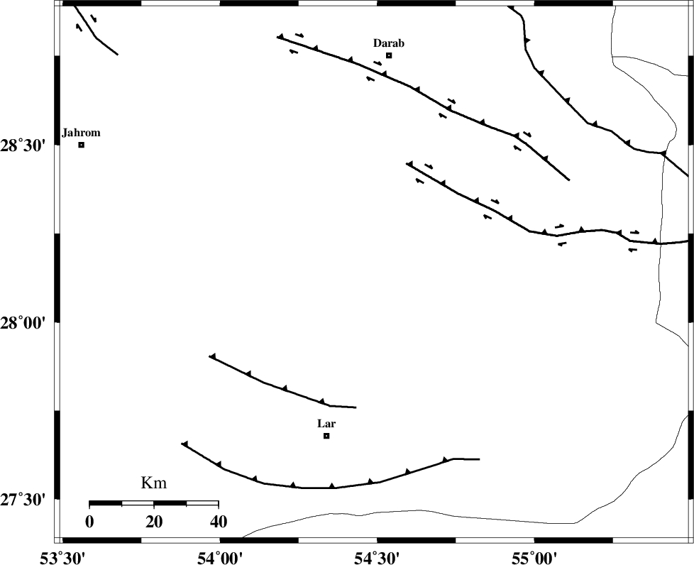
Faults within 150 km: |
|
| HZF2 (Length: 437 km) , Distance to epicenter: 36 km | |
| BERIZ_F (Length: 49 km) , Distance to epicenter: 43 km | |
| HZF1 (Length: 102 km) , Distance to epicenter: 56 km | |
| Number of Phases | 5 |
| RMS | 0 |
| Number of Stations | 4 |
| Error in Latitude | >4.2 km |
| Error in Longitude | 2.8 km |
| Error in Depth | 5.4 km |
Download waveform in seisan format
to download seisan software Click here
to access information about IIEES stations Click here
Amplitude | ||||||||
| UID | Agency | Station | Component | Amplitude | Period | Arrival Time | Proccessing Time | Signal Clip |
| 80483 | IIEES | GHIR | E | 725.7 | 0.07 | 2011-10-19 03:05:30 | 2011-10-19 01:18:00 | n |
| 80484 | IIEES | AHRM | N | 65.9 | 0.61 | 2011-10-19 03:06:29 | 2011-10-19 01:18:00 | n |
Phase | ||||||||||||
| Agency | Station | Component | Phase Type | Phase Quality | First Motion | Observed Arrival Time | Time Residual | Loc. Flag | Input Weight | Distance | Azimuth | |
| IIEES | GHIR | Z | Pg | E | 2011-10-19 03:05:08 | 0.03 | y | 149 | 277 | |||
| IIEES | GHIR | E | Sg | E | 2011-10-19 03:05:27 | 0.01 | y | 149 | 277 | |||
| IIEES | AHRM | Z | Pn | E | 2011-10-19 03:05:31 | -0.08 | y | 323 | 285 | |||
| IIEES | NASN | Z | P | E | 2011-10-19 03:05:59 | 0.02 | y | 542 | 343 | |||
| IIEES | CHBR | Z | P | E | 2011-10-19 03:06:13 | 0.02 | y | 658 | 114 | |||