
Magnitude |
:2.1 |
| Date & Time (UTC) | 2015-03-18 06:34:09.7 |
| Date & Time (Local) | 1393/12/27 10:04:09.7 |
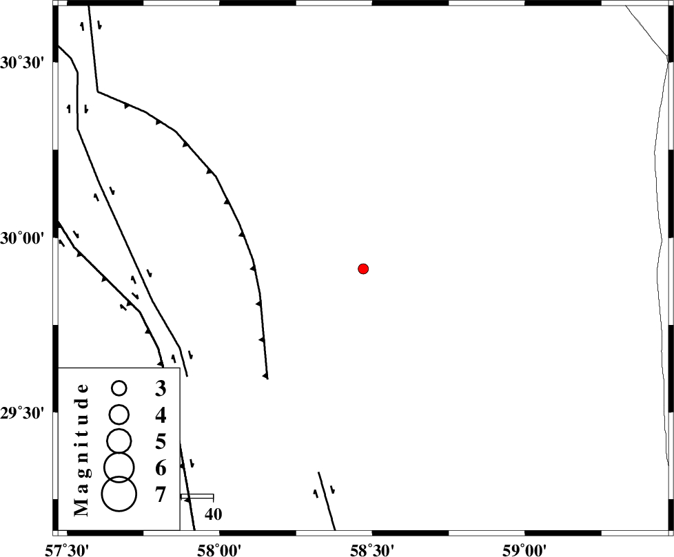
| Location | Lat:29.91 Lon: 58.47 |
| Region | Kerman Province, 90 km North-East of Bam |
Nearest Cities |
|
| 32 km North East of Geshit, Kerman Province | |
| 66 km North East of Golbaft, Kerman Province | |
| 83 km South East of Estehkam, Kerman Province | |
| 85 km South East of Jushan, Kerman Province | |
| 87 km North of Poshtrud, Kerman Province | |
| Depth | 18 km |
| Agency | |
Faults within 150 km: |
|
| SHAHDAD_F (Length: 108 km) , Distance to epicenter: 34 km | |
| GOLBAF_SIRCH_F (Length: 114 km) , Distance to epicenter: 63 km | |
| BAM_F (Length: 118 km) , Distance to epicenter: 66 km | |
| Number of Phases | 6 |
| RMS | 0.1 |
| Number of Stations | 3 |
| Error in Latitude | >2.6 km |
| Error in Longitude | 2.7 km |
| Error in Depth | 6.2 km |
Download waveform in seisan format
to download seisan software Click here
to access information about IIEES stations Click here
Amplitude | ||||||||
| UID | Agency | Station | Component | Amplitude | Period | Arrival Time | Proccessing Time | Signal Clip |
| 95255 | IIEES | KRBR | N | 23.6 | 0.38 | 2015-03-18 06:35:03 | 2015-03-18 07:24:00 | n |
| 95256 | IIEES | BSRN | E | 13.2 | 0.29 | 2015-03-18 06:35:20 | 2015-03-18 07:24:00 | n |
Phase | ||||||||||||
| Agency | Station | Component | Phase Type | Phase Quality | First Motion | Observed Arrival Time | Time Residual | Loc. Flag | Input Weight | Distance | Azimuth | |
| IIEES | KRBR | Z | Pg | E | 2015-03-18 06:34:37 | 0.01 | y | 165 | 273 | |||
| IIEES | KRBR | E | Sg | E | 2015-03-18 06:34:57 | 0.05 | y | 165 | 273 | |||
| IIEES | ZHSF | Z | Pn | E | 2015-03-18 06:34:44 | -0.15 | y | 226 | 98 | |||
| IIEES | ZHSF | N | S | E | 2015-03-18 06:35:11 | 0.18 | y | 226 | 98 | |||
| IIEES | BSRN | Z | Pn | E | 2015-03-18 06:34:46 | -0.16 | y | 236 | 15 | |||
| IIEES | BSRN | E | Sg | E | 2015-03-18 06:35:16 | 0.07 | y | 236 | 15 | |||