
Magnitude |
:3.2 |
| Date & Time (UTC) | 2012-11-26 09:35:52.9 |
| Date & Time (Local) | 1391/9/6 13:05:52.9 |
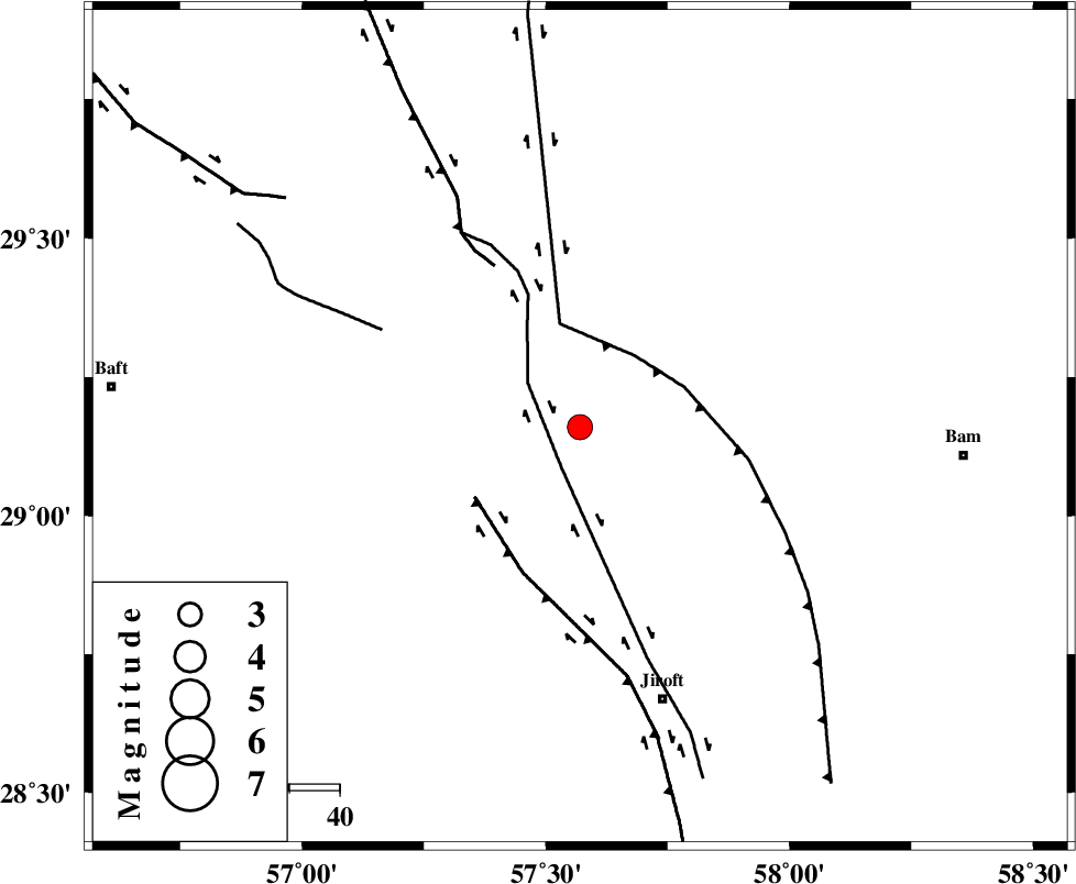
| Location | Lat:29.16 Lon: 57.57 |
| Region | Kerman Province, 57 km North-West of Jiroft |
Nearest Cities |
|
| 13 km North of Sahebabad, Kerman Province | |
| 19 km North of Delfard, Kerman Province | |
| 28 km North East of Eslamabad, Kerman Province | |
| 29 km South East of Groh, Kerman Province | |
| 40 km South East of Hanza, Kerman Province | |
| Depth | 18 km |
| Agency | |
Faults within 150 km: |
|
| GOWK_F (Length: 152 km) , Distance to epicenter: 34 km | |
| SABZEVARAN_F (Length: 190 km) , Distance to epicenter: 58 km | |
| GOLBAF_SIRCH_F (Length: 114 km) , Distance to epicenter: 58 km | |
| Number of Phases | 7 |
| RMS | 0.2 |
| Number of Stations | 5 |
| Error in Latitude | >3.2 km |
| Error in Longitude | 2.1 km |
| Error in Depth | 5.1 km |
Download waveform in seisan format
to download seisan software Click here
to access information about IIEES stations Click here
Amplitude | ||||||||
| UID | Agency | Station | Component | Amplitude | Period | Arrival Time | Proccessing Time | Signal Clip |
| 87156 | IIEES | KRBR | E | 596.9 | 0.19 | 2012-11-26 09:36:35 | 2012-11-26 09:34:00 | n |
Phase | ||||||||||||
| Agency | Station | Component | Phase Type | Phase Quality | First Motion | Observed Arrival Time | Time Residual | Loc. Flag | Input Weight | Distance | Azimuth | |
| IIEES | KRBR | Z | Pg | E | 2012-11-26 09:36:13 | -0.13 | y | 121 | 319 | |||
| IIEES | ZHSF | Z | Pn | E | 2012-11-26 09:36:39 | -0.05 | y | 315 | 80 | |||
| IIEES | ZHSF | N | Sg | E | 2012-11-26 09:37:21 | 0.03 | y | 315 | 80 | |||
| IIEES | BSRN | Z | Pn | E | 2012-11-26 09:36:42 | -0.37 | y | 345 | 25 | |||
| IIEES | BSRN | N | Sg | E | 2012-11-26 09:37:29 | 0.21 | y | 345 | 25 | |||
| IIEES | GHIR | Z | Pn | E | 2012-11-26 09:36:57 | 0.28 | y | 458 | 259 | |||
| IIEES | SHRT | Z | Pn | E | 2012-11-26 09:37:10 | 0.15 | y | 561 | 27 | |||