
Magnitude |
:3.4 |
| Date & Time (UTC) | 2012-09-15 19:05:18.4 |
| Date & Time (Local) | 1391/6/25 23:35:18.4 |
| Location | Lat:29.16 Lon: 56.14 |
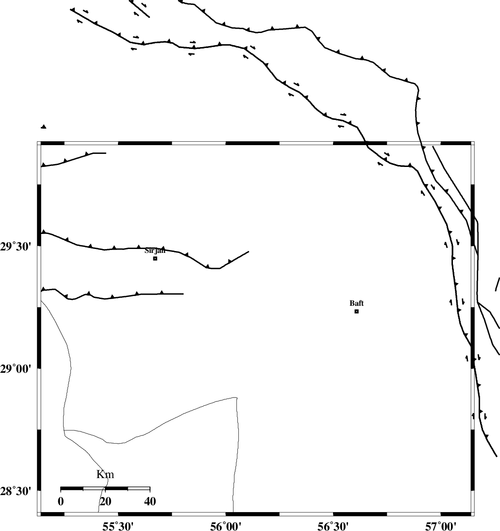
| Region | Kerman Province, 47 km West of Baft |
Nearest Cities |
|
| 30 km South of Blord, Kerman Province | |
| 32 km South East of Malekabad, Kerman Province | |
| 43 km South West of Amirabad, Kerman Province | |
| 46 km West of Baft, Kerman Province | |
| 48 km South East of Najafabad, Kerman Province | |
| Depth | 14 km |
| Agency | |
Faults within 150 km: |
|
| LALEHZAR_F (Length: 52 km) , Distance to epicenter: 50 km | |
| RAFSANJAN_F (Length: 129 km) , Distance to epicenter: 83 km | |
| MAIN_ZAGROS_R_F (Length: 1106 km) , Distance to epicenter: 91 km | |
| Number of Phases | 4 |
| RMS | 0.1 |
| Number of Stations | 3 |
| Error in Latitude | >1.1 km |
| Error in Longitude | 3.7 km |
| Error in Depth | 5.4 km |
Download waveform in seisan format
to download seisan software Click here
to access information about IIEES stations Click here
Amplitude | ||||||||
| UID | Agency | Station | Component | Amplitude | Period | Arrival Time | Proccessing Time | Signal Clip |
| 86139 | IIEES | KRBR | N | 1415.8 | 0.2 | 2012-09-15 19:05:53 | 2012-09-15 07:26:00 | n |
| 86140 | IIEES | KRBR | E | 1301.7 | 0.36 | 2012-09-15 19:05:53 | 2012-09-15 07:26:00 | n |
| 86141 | IIEES | BNDS | E | 273.9 | 0.44 | 2012-09-15 19:06:18 | 2012-09-15 07:26:00 | n |
Phase | ||||||||||||
| Agency | Station | Component | Phase Type | Phase Quality | First Motion | Observed Arrival Time | Time Residual | Loc. Flag | Input Weight | Distance | Azimuth | |
| IIEES | KRBR | Z | Pg | E | 2012-09-15 19:05:37 | -0.02 | y | 109 | 34 | |||
| IIEES | BNDS | N | Sg | E | 2012-09-15 19:06:14 | -0.03 | y | 195 | 179 | |||
| IIEES | YZKH | Z | Pn | E | 2012-09-15 19:06:14 | 0.18 | y | 387 | 338 | |||
| IIEES | YZKH | E | Sg | E | 2012-09-15 19:07:06 | -0.11 | y | 387 | 338 | |||