
| Prel. Rep. | Date | Time(UTC) | Time(Local) | Lat. | Lon. | Depth | Mag. | Region | Waveform |
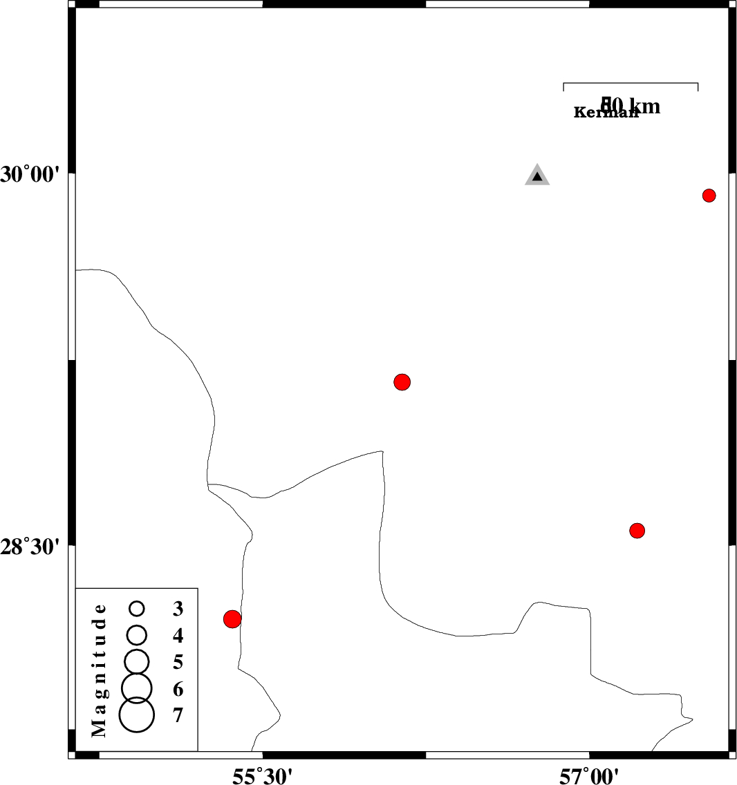
| 2012/09/15 | 19:05:18.4 | 23:35:18.4 | 29.16 | 56.14 | 14 | ML:3.4 | Kerman Province, 47 km West of Baft | ||
| 2012/09/03 | 20:01:52.0 | 00:31:52.0 | 29.91 | 57.55 | 14 | ML:2.7 | Kerman Province, 62 km South-East of Kerman | ||
| 2012/08/25 | 14:21:07.0 | 18:51:07.0 | 28.2 | 55.36 | 14 | ML:3.7 | Fars Province, 54 km South-West of Hajiabad | ||
| 2012/08/18 | 14:46:32.0 | 19:16:32.0 | 28.56 | 57.22 | 35 | ML:3.1 | Kerman Province, 52 km South-West of Jiroft |