
Magnitude |
:3.8 |
| Date & Time (UTC) | 2012-05-07 00:29:11.4 |
| Date & Time (Local) | 1391/2/18 04:59:11.4 |
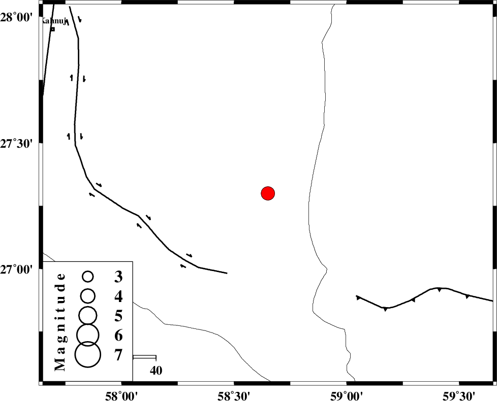
| Location | Lat:27.3 Lon: 58.65 |
| Region | Kerman Province, 114 km South-East of Manujan |
Nearest Cities |
|
| 54 km North West of Ramashk, Kerman Province | |
| 76 km North East of Keshmiran, Kerman Province | |
| 79 km South West of Kalemursi, Sistan va Baloochestan Province | |
| 80 km South East of Qalehy-eganj, Kerman Province | |
| 82 km South East of Borj-e abbasabad, Kerman Province | |
| Depth | 15 km |
| Agency | |
Faults within 150 km: |
|
| JIROFT_F (Length: 144 km) , Distance to epicenter: 40 km | |
| S_JAZMURIAN_F (Length: 91 km) , Distance to epicenter: 60 km | |
| SABZEVARAN_F (Length: 190 km) , Distance to epicenter: 105 km | |
| Number of Phases | 5 |
| RMS | 0 |
| Number of Stations | 5 |
| Error in Latitude | >1.7 km |
| Error in Longitude | 0.9 km |
| Error in Depth | 0 km |
Download waveform in seisan format
to download seisan software Click here
to access information about IIEES stations Click here
Amplitude | ||||||||
| UID | Agency | Station | Component | Amplitude | Period | Arrival Time | Proccessing Time | Signal Clip |
| 83332 | IIEES | BNDS | E | 668.1 | 0.44 | 2012-05-07 00:30:18 | 2012-05-07 01:04:00 | n |
| 83333 | IIEES | BNDS | N | 602.1 | 0.36 | 2012-05-07 00:30:20 | 2012-05-07 01:04:00 | n |
| 83334 | IIEES | CHBR | E | 551 | 0.44 | 2012-05-07 00:30:19 | 2012-05-07 01:04:00 | n |
| 83335 | IIEES | CHBR | N | 391 | 0.6 | 2012-05-07 00:30:20 | 2012-05-07 01:04:00 | n |
| 83336 | IIEES | KRBR | N | 212.3 | 0.6 | 2012-05-07 00:30:58 | 2012-05-07 01:04:00 | n |
Phase | ||||||||||||
| Agency | Station | Component | Phase Type | Phase Quality | First Motion | Observed Arrival Time | Time Residual | Loc. Flag | Input Weight | Distance | Azimuth | |
| IIEES | BNDS | Z | Pn | E | 2012-05-07 00:29:49 | -0.02 | y | 245 | 273 | |||
| IIEES | CHBR | Z | Pn | E | 2012-05-07 00:29:51 | 0 | y | 263 | 135 | |||
| IIEES | ZHSF | Z | Pn | E | 2012-05-07 00:30:00 | 0 | y | 330 | 39 | |||
| IIEES | KRBR | Z | Pn | E | 2012-05-07 00:30:02 | 0.01 | y | 350 | 329 | |||
| IIEES | GHIR | Z | Pn | E | 2012-05-07 00:30:29 | 0.01 | y | 568 | 282 | |||