
Magnitude |
:3.7 |
| Date & Time (UTC) | 2011-05-14 11:39:27.5 |
| Date & Time (Local) | 1390/2/24 16:09:27.5 |
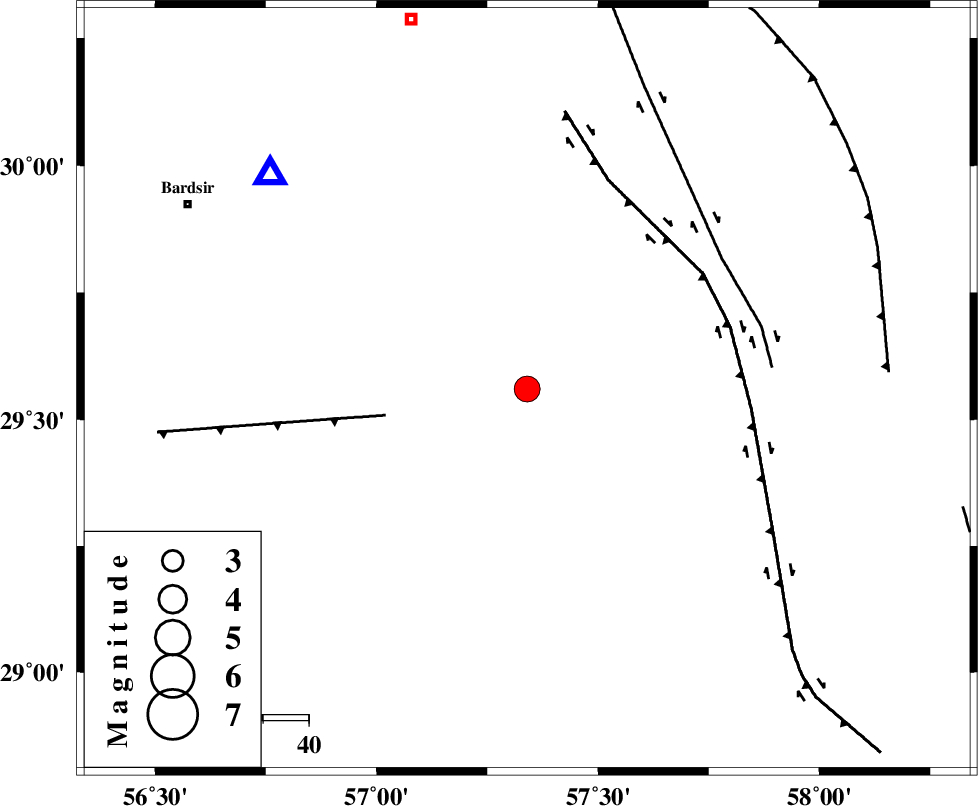
| Location | Lat:29.56 Lon: 57.34 |
| Region | Kerman Province, 85 km South-East of Kerman |
Nearest Cities |
|
| 10 km of Rain, Kerman Province | |
| 14 km West of Dehmirza, Kerman Province | |
| 21 km North of Groh, Kerman Province | |
| 30 km North East of Hanza, Kerman Province | |
| 46 km North East of Kahnuj, Kerman Province | |
| Depth | 11 km |
| Agency | |
Faults within 150 km: |
|
| LALEHZAR_F (Length: 52 km) , Distance to epicenter: 31 km | |
| GOWK_F (Length: 152 km) , Distance to epicenter: 46 km | |
| GOLBAF_SIRCH_F (Length: 114 km) , Distance to epicenter: 51 km | |
| Number of Phases | 5 |
| RMS | 0.1 |
| Number of Stations | 5 |
| Error in Latitude | >3.4 km |
| Error in Longitude | 3.7 km |
| Error in Depth | 6.6 km |
Download waveform in seisan format
to download seisan software Click here
to access information about IIEES stations Click here
Amplitude | ||||||||
| UID | Agency | Station | Component | Amplitude | Period | Arrival Time | Proccessing Time | Signal Clip |
| 78957 | IIEES | KRBR | E | 3860.8 | 0.16 | 2011-05-14 11:39:52 | 2011-05-14 11:56:00 | n |
| 78958 | IIEES | KRBR | N | 2586.1 | 0.16 | 2011-05-14 11:39:53 | 2011-05-14 11:56:00 | n |
| 78959 | IIEES | BNDS | N | 398.9 | 0.59 | 2011-05-14 11:40:47 | 2011-05-14 11:56:00 | n |
| 78960 | IIEES | BNDS | E | 310.5 | 0.59 | 2011-05-14 11:40:48 | 2011-05-14 11:56:00 | n |
| 78961 | IIEES | TABS | N | 131 | 1.45 | 2011-05-14 11:41:41 | 2011-05-14 11:56:00 | n |
Phase | ||||||||||||
| Agency | Station | Component | Phase Type | Phase Quality | First Motion | Observed Arrival Time | Time Residual | Loc. Flag | Input Weight | Distance | Azimuth | |
| IIEES | KRBR | Z | Pg | E | 2011-05-14 11:39:40 | 0 | y | 72.7 | 310 | |||
| IIEES | BNDS | Z | Pn | E | 2011-05-14 11:40:08 | -0.1 | y | 265 | 206 | |||
| IIEES | ZHSF | Z | Pn | E | 2011-05-14 11:40:17 | 0.1 | y | 333 | 88 | |||
| IIEES | GHIR | Z | Pn | E | 2011-05-14 11:40:31 | 0.2 | y | 447 | 253 | |||
| IIEES | TABS | Z | Pn | E | 2011-05-14 11:40:31 | -0.1 | y | 454 | 357 | |||