
Magnitude |
:3.7 |
| Date & Time (UTC) | 2011-02-18 08:56:33.0 |
| Date & Time (Local) | 1389/11/29 12:26:33.0 |
| Location | Lat:28.23 Lon: 59.06 |
| Region | Kerman Province, 119 km South-East of Bam |
Nearest Cities |
|
| 53 km South of Hoseynabad, Kerman Province | |
| 57 km South East of Mohammadabad-e gonbaki, Kerman Province | |
| 58 km North East of Borj-e abbasabad, Kerman Province | |
| 73 km South East of Void, Kerman Province | |
| 83 km South East of Fahroj, Kerman Province | |
| Depth | 18 km |
| Agency | |
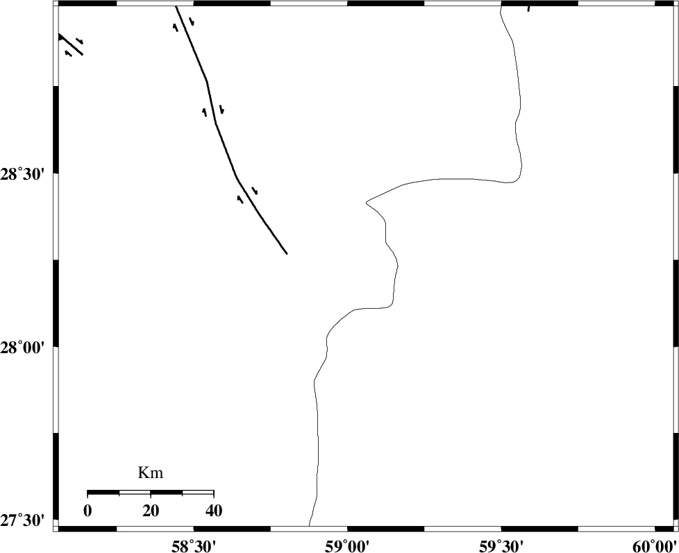
Faults within 150 km: |
|
| BAM_F (Length: 118 km) , Distance to epicenter: 25 km | |
| KANURAK_F (Length: 135 km) , Distance to epicenter: 97 km | |
| GOWK_F (Length: 152 km) , Distance to epicenter: 113 km | |
| Number of Phases | 4 |
| RMS | 0.1 |
| Number of Stations | 3 |
| Error in Latitude | >4.9 km |
| Error in Longitude | 2.3 km |
| Error in Depth | 7.7 km |
Download waveform in seisan format
to download seisan software Click here
to access information about IIEES stations Click here
Amplitude | ||||||||
| UID | Agency | Station | Component | Amplitude | Period | Arrival Time | Proccessing Time | Signal Clip |
| 77940 | IIEES | KRBR | N | 278.8 | 0.21 | 2011-02-18 08:58:02 | 2011-02-18 09:06:00 | n |
| 77941 | IIEES | KRBR | E | 215.8 | 1.39 | 2011-02-18 08:58:06 | 2011-02-18 09:06:00 | n |
| 77942 | IIEES | BNDS | E | 441.9 | 0.42 | 2011-02-18 08:57:56 | 2011-02-18 09:06:00 | n |
| 77943 | IIEES | BNDS | N | 251.1 | 0.83 | 2011-02-18 08:57:58 | 2011-02-18 09:06:00 | n |
Phase | ||||||||||||
| Agency | Station | Component | Phase Type | Phase Quality | First Motion | Observed Arrival Time | Time Residual | Loc. Flag | Input Weight | Distance | Azimuth | |
| IIEES | ZHSF | Z | Pg | E | 2011-02-18 08:57:10 | 0 | y | 227 | 47 | |||
| IIEES | KRBR | Z | Pn | E | 2011-02-18 08:57:17 | -0.1 | y | 296 | 311 | |||
| IIEES | KRBR | N | Sg | E | 2011-02-18 08:57:56 | 0 | y | 296 | 311 | |||
| IIEES | BNDS | Z | Pn | E | 2011-02-18 08:57:17 | 0.1 | y | 299 | 253 | |||