
| Prel. Rep. | Date | Time(UTC) | Time(Local) | Lat. | Lon. | Depth | Mag. | Region | Waveform |
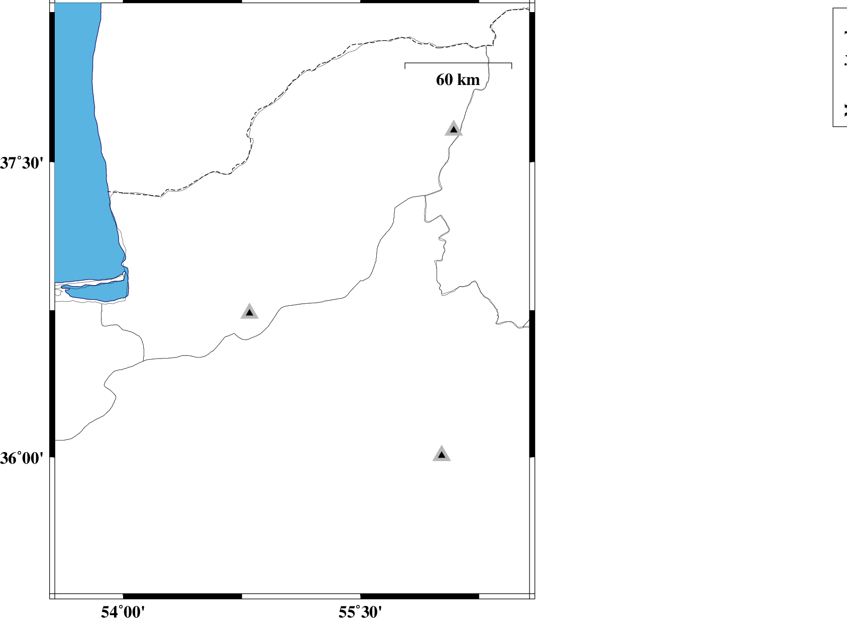
| 2025/11/17 | 06:44:08.5 | 10:14:08.5 | 36.797 | 55.068 | 10 | ML:3.3 | Golestan Province, 25 km South of Ramian | ||
| 2025/11/16 | 08:01:26.5 | 11:31:26.5 | 36.775 | 54.749 | 8 | ML:3.1 | Golestan Province, 18 km South-West of Ali Abad | ||
| 2025/10/21 | 08:57:04.3 | 12:27:04.3 | 36.645 | 55.022 | 12 | ML:2.9 | Semnan Province, 25 km North of Shahrud | ||
| 2025/10/20 | 12:00:20.3 | 15:30:20.3 | 36.696 | 54.801 | 9 | ML:3.5 | Golestan Province, 24 km South of Ali Abad | ||
| 2025/10/20 | 11:55:44.5 | 15:25:44.5 | 36.661 | 54.843 | 12 | ML:4.5 | Golestan Province, 27 km South of Ali Abad | ||
| 2025/10/20 | 10:24:16.5 | 13:54:16.5 | 36.651 | 54.905 | 12 | ML:3.1 | Semnan Province, 28 km South of Ali Abad | ||
| 2025/10/20 | 02:48:26.5 | 06:18:26.5 | 37.232 | 53.859 | 12 | ML:3 | Caspian Sea, 41 km North-West of Bandar-e torkaman | ||
| 2025/10/18 | 03:32:30.8 | 07:02:30.8 | 36.675 | 54.801 | 12 | ML:3.5 | Golestan Province, 26 km South of Ali Abad |