| Prel. Rep. | Date | Time(UTC) | Time(Local) | Lat. | Lon. | Depth | Mag. | Region | Waveform |
|
|
2015/10/17
|
21:47:24.6
|
01:17:24.6
| 34.83 | 60.084 | 18 |
ML:2.5
|
Khorasan(center) Province, 29 km North of Khaf | |
|
|
2015/10/17
|
06:47:09.2
|
10:17:09.2
| 33.47 | 59.63 | 14 |
ML:1.9
|
Khorasan(south) Province, 50 km South-East of Qaen | |
|
|
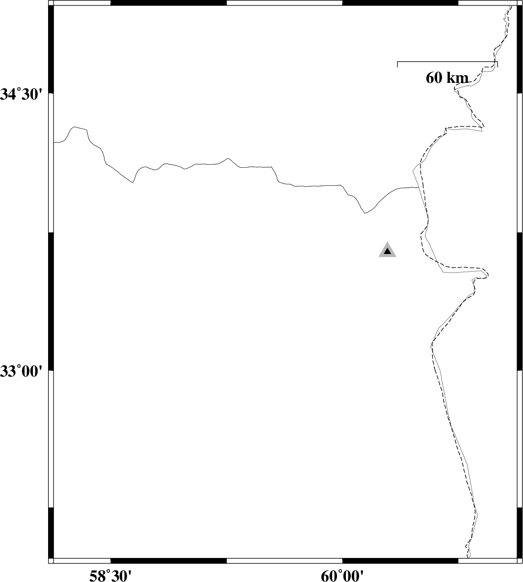
2015/10/09
|
13:35:34.7
|
17:05:34.7
| 34.005 | 59.328 | 18 |
ML:2.7
|
, 32 km North-East of Qaen | |
|
|
2015/10/03
|
00:59:45.5
|
04:29:45.5
| 34.094 | 59.344 | 17 |
ML:3.4
|
, 42 km North-East of Qaen | |
|
|
2015/10/01
|
22:07:23.6
|
01:37:23.6
| 32.283 | 59.616 | 6 |
ML:2.7
|
Khorasan(south) Province, 41 km South-West of Sarbisheh | |
|
|
2015/09/29
|
02:14:27.7
|
05:44:27.7
| 32.021 | 59.685 | 14 |
ML:2
|
Khorasan(south) Province, 68 km South-West of Sarbisheh | |
|
|
2015/09/28
|
06:32:51.8
|
10:02:51.8
| 32.381 | 58.416 | 17 |
ML:2.6
|
Khorasan(south) Province, 95 km South-West of Birjand | |
|
|
2015/09/26
|
17:46:52.0
|
21:16:52.0
| 32.618 | 59.218 | 17 |
ML:1.9
|
Khorasan(south) Province, 31 km South of Birjand | |
|
|
2015/09/25
|
09:07:48.5
|
12:37:48.5
| 34.511 | 60.445 | 15 |
ML:2.6
|
Khorasan(center) Province, 29 km -East of Khaf | |
|
|
2015/09/17
|
06:13:12.4
|
10:43:12.4
| 32.678 | 58.991 | 15 |
ML:2.1
|
Khorasan(south) Province, 33 km South-West of Birjand | |
