
| Prel. Rep. | Date | Time(UTC) | Time(Local) | Lat. | Lon. | Depth | Mag. | Region | Waveform |
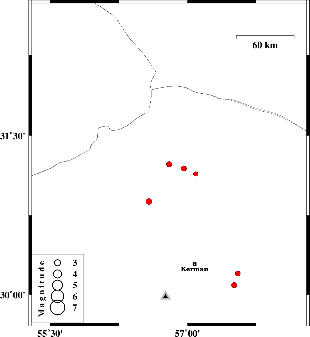
| 2015/04/16 | 23:20:47.3 | 03:50:47.3 | 30.88 | 56.58 | 39 | ML:3 | Kerman Province, 8 km Zarand | ||
| 2015/04/16 | 02:50:07.0 | 07:20:07.0 | 31.23 | 56.8 | 14 | ML:2.7 | Kerman Province, 4 km Ravar | ||
| 2015/04/12 | 07:28:09.6 | 11:58:09.6 | 30.09 | 57.51 | 14 | ML:2.7 | Kerman Province, 47 km South-East of Kerman | ||
| 2015/04/12 | 06:58:30.9 | 11:28:30.9 | 30.2 | 57.55 | 14 | ML:2.5 | Kerman Province, 47 km East of Kerman | ||
| 2015/04/12 | 05:39:24.0 | 10:09:24.0 | 31.14 | 57.09 | 14 | ML:2.2 | Kerman Province, 30 km South-East of Ravar | ||
| 2015/04/11 | 13:29:03.3 | 17:59:03.3 | 31.19 | 56.96 | 15 | ML:2.7 | Kerman Province, 16 km East of Ravar |