
| Prel. Rep. | Date | Time(UTC) | Time(Local) | Lat. | Lon. | Depth | Mag. | Region | Waveform |
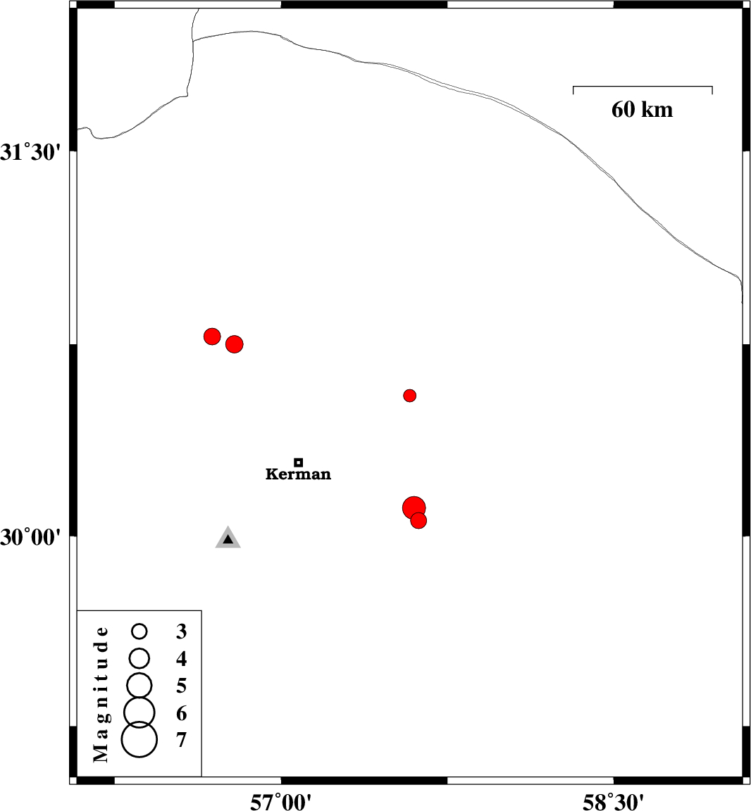
| 2015/02/22 | 15:20:20.8 | 18:50:20.8 | 30.55 | 57.58 | 17 | ML:2.6 | Kerman Province, 56 km North-East of Kerman | ||
| 2015/02/19 | 14:11:11.2 | 17:41:11.2 | 30.06 | 57.62 | 14 | ML:3.3 | Kerman Province, 58 km South-East of Kerman | ||
| 2015/02/19 | 10:02:10.7 | 13:32:10.7 | 30.78 | 56.69 | 14 | ML:3.4 | Kerman Province, 12 km East of Zarand | ||
| 2015/02/17 | 13:41:37.4 | 17:11:37.4 | 30.11 | 57.6 | 14 | ML:4.6 | Kerman Province, 53 km South-East of Kerman | ||
| 2015/02/17 | 07:42:15.9 | 11:12:15.9 | 30.75 | 56.79 | 15 | ML:3.5 | Kerman Province, 22 km East of Zarand |